Mount Ward, Marlborough

Map
Facts and practical information
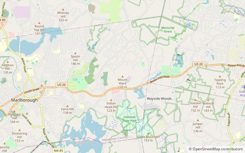
Mount Ward is a small summit in Marlboro, Massachusetts. The summit is located in Marlboro State Forest and the top can be reached via the Mount Ward Trail, a 1.2 mile loop accessible year round. Mount Ward is 410 feet elevation, with a prominence of 154 feet. ()
Coordinates: 42°21'20"N, 71°29'50"W
Address
MarlboroughMarlborough
ContactAdd
Social media
Add
Day trips
Mount Ward – popular in the area (distance from the attraction)
Nearby attractions include: Assabet River Rail Trail, Marlborough Country Club, Garden in the Woods, Brigham Cemetery.


