A. T. Stewart Era Buildings, North Hempstead
Map
Facts and practical information
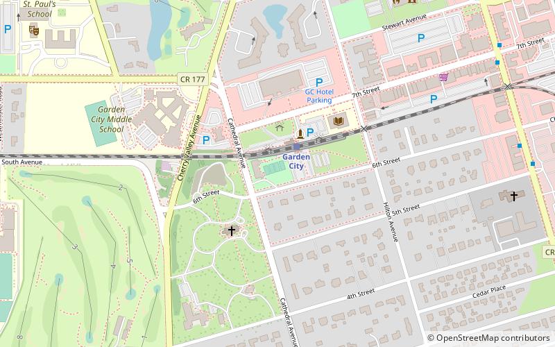
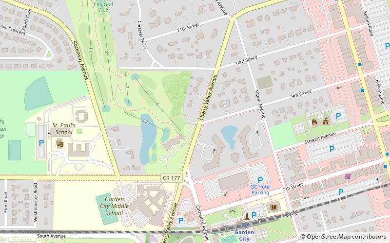
A. T. Stewart Era Buildings is a national historic district located at Garden City in Nassau County, New York. It consists of a thematic group of 50 residential, commercial, religious, and civic structures built as original elements of the planned community of Garden City between 1871 and 1893. They were built as part of the plan for Garden City devised originally by Alexander Turney Stewart. Included are 44 residences built between 1871 and 1878 and range in scale from modest cottages to large, rambling, three story frame "villas." Other buildings are: 53-55 Hilton Avenue commercial block, Garden City Water Works, Cathedral of the Incarnation Complex, St. Paul's School, Cathedral School of St. Mary ()
Coordinates: 40°43'21"N, 73°38'27"W
Address
Garden CityNorth Hempstead
ContactAdd
Social media
Add
Getting there by public transportation
Public transportation stops near this location
- Bus
- Train
 Bus
Bus
- Calculate routeGarden City 2 min walk
- Calculate routeCountry Life Press 16 min walk
- Calculate routeHempstead 28 min walk
- Calculate routeNassau Boulevard 30 min walk
- Calculate routeGreyhound 31 min walk
- Calculate routeClinton Street & Fulton Avenue 37 min walk
Day trips


Frequently Asked Questions (FAQ)
Which popular attractions are close to A. T. Stewart Era Buildings?
Nearby attractions include Cathedral of the Incarnation, North Hempstead (3 min walk), St. Paul's School, North Hempstead (11 min walk), Garden City, North Hempstead (12 min walk), Adelphi University, North Hempstead (16 min walk).
How to get to A. T. Stewart Era Buildings by public transport?
The nearest stations to A. T. Stewart Era Buildings:
Train
Bus
Train
- Garden City (2 min walk)
- Country Life Press (16 min walk)
Bus
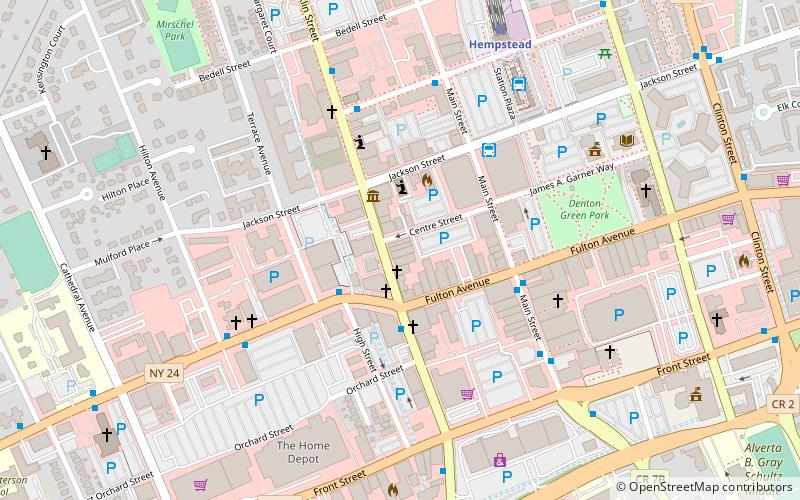
- Greyhound (31 min walk)
- Clinton Street & Fulton Avenue • Lines: n70, n71, n72 (37 min walk)