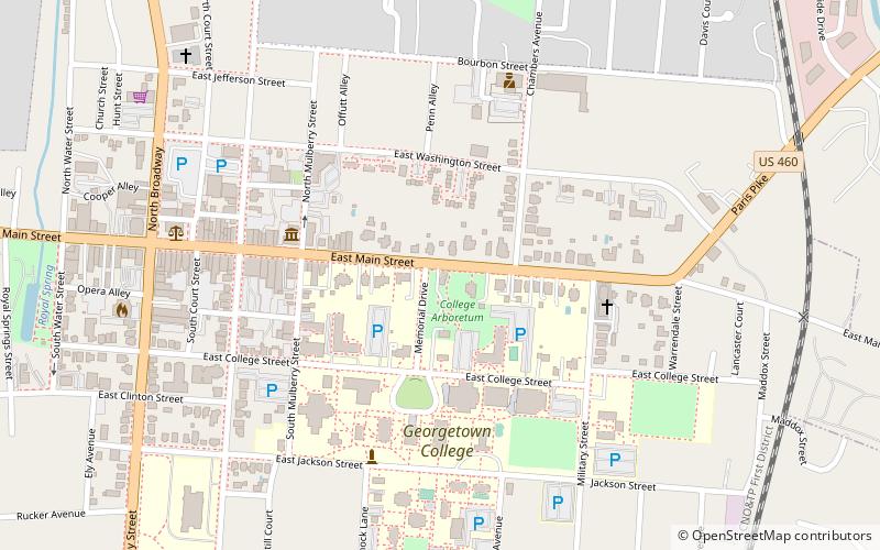
Georgetown East Main Street Residential District, Georgetown
Map

Map

Facts and practical information
The Georgetown East Main Street Residential District is a 22 acres historic district located in Georgetown, Kentucky. The area was added to the U.S. National Register of Historic Places in 1978. It included 41 contributing buildings. ()
Coordinates: 38°12'34"N, 84°33'15"W
Address
Georgetown
ContactAdd
Social media
Add
Day trips
Georgetown East Main Street Residential District – popular in the area (distance from the attraction)
Nearby attractions include: Confederate Monument in Georgetown, Yuko-En on the Elkhorn, Royal Spring Park, Georgetown College.
Frequently Asked Questions (FAQ)
Which popular attractions are close to Georgetown East Main Street Residential District?
Nearby attractions include Georgetown College, Georgetown (4 min walk), Scott County Museum, Georgetown (5 min walk), Giddings Hall, Georgetown (5 min walk), Georgetown College Historic Buildings, Georgetown (5 min walk).


