Mordecai Place Historic District, Raleigh
Map

Map

Facts and practical information
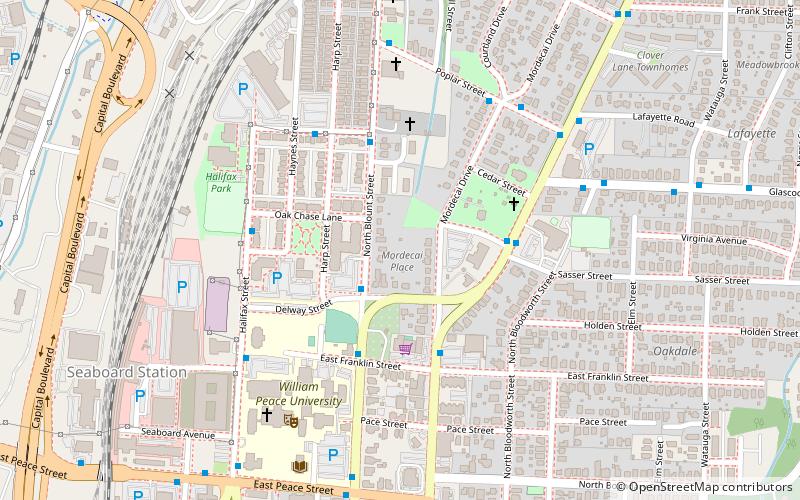
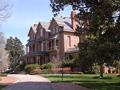
Mordecai Place Historic District is a historic neighborhood and national historic district located at Raleigh, North Carolina. The district encompasses 182 contributing buildings and 1 contributing object in the most architecturally varied of Raleigh's early-20th century suburbs for the white middle-class. Mordecai Place was listed on the National Register of Historic Places in February 1998, with a boundary increase in 2000. ()
Coordinates: 35°47'31"N, 78°38'6"W
Address
Mordecai (Mordecai Community)Raleigh
ContactAdd
Social media
Add
Day trips
Mordecai Place Historic District – popular in the area (distance from the attraction)
Nearby attractions include: North Carolina Museum of Natural Sciences, North Carolina Museum of History, City Market, The Pour House Music Hall.
Frequently Asked Questions (FAQ)
Which popular attractions are close to Mordecai Place Historic District?
Nearby attractions include Mordecai House, Raleigh (3 min walk), Peace College Main Building, Raleigh (7 min walk), Norburn Terrace, Raleigh (9 min walk), Mary Elizabeth Hospital, Raleigh (10 min walk).
How to get to Mordecai Place Historic District by public transport?
The nearest stations to Mordecai Place Historic District:
Bus
Train
Bus
- N Blount St at Delway St • Lines: 3 (2 min walk)
- Wake Forest Road & Mimosa Street • Lines: 1 (4 min walk)
Train
- Raleigh (32 min walk)


