New Decatur–Albany Historic District, Decatur
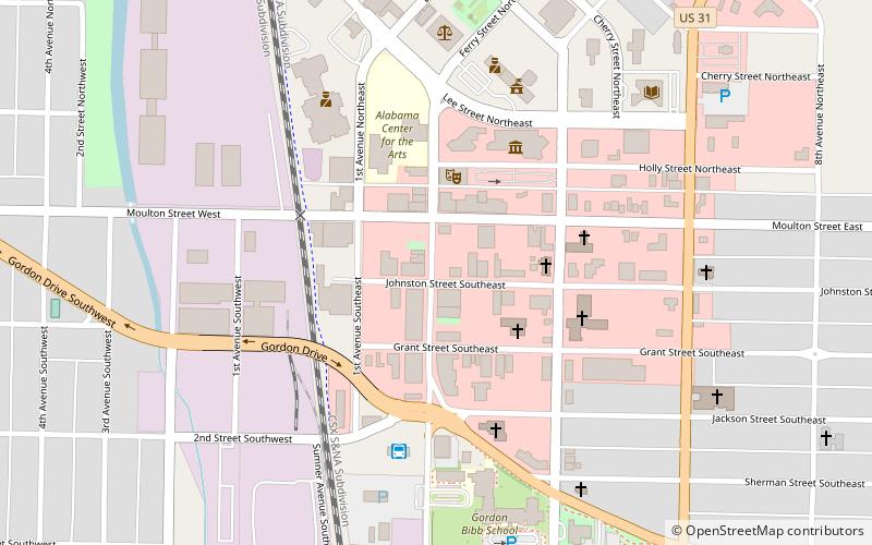
Map

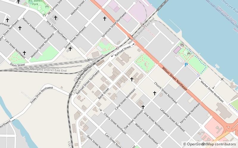
Map

Facts and practical information
The New Decatur–Albany Historic District is a historic district in Decatur, Alabama. The district encompasses the commercial district of the former town of New Decatur. It lies south of the Bank Street-Old Decatur Historic District and east of the New Decatur–Albany Residential Historic District. New Decatur was founded in 1887 as a planned town and suburb of Decatur. The town was renamed Albany in 1916 and merged with "Old" Decatur in 1927. ()
Area: 13 acres (0.0203 mi²)Coordinates: 34°36'11"N, 86°59'6"W
Address
Decatur
ContactAdd
Social media
Add
Day trips
New Decatur–Albany Historic District – popular in the area (distance from the attraction)
Nearby attractions include: Princess Theatre, Norfolk Southern Tennessee River Bridge, Delano Park, Old State Bank.
Frequently Asked Questions (FAQ)
Which popular attractions are close to New Decatur–Albany Historic District?
Nearby attractions include Cotaco Opera House, Decatur (2 min walk), Princess Theatre, Decatur (3 min walk), Bank Street–Old Decatur Historic District, Decatur (15 min walk), Delano Park, Decatur (17 min walk).
How to get to New Decatur–Albany Historic District by public transport?
The nearest stations to New Decatur–Albany Historic District:
Bus
Bus
- Morgan County Area Transportation System (6 min walk)


