Main Street–Albertson Street–Park Place Historic District, Hyde Park
Map
Gallery
Facts and practical information
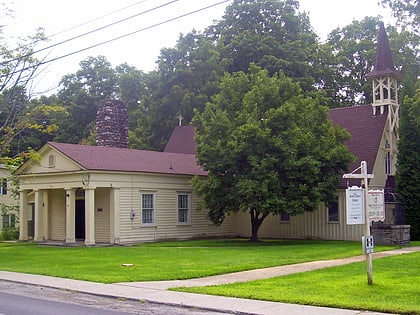
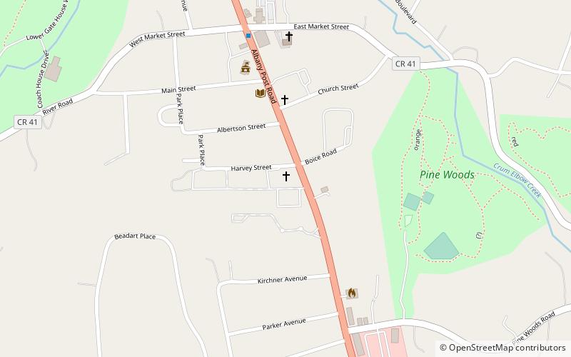
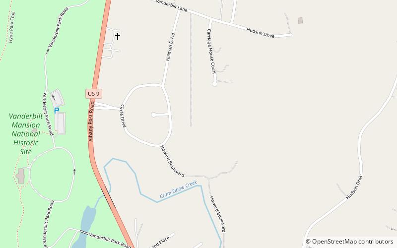
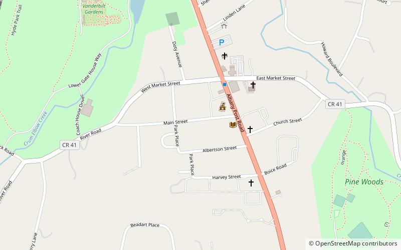
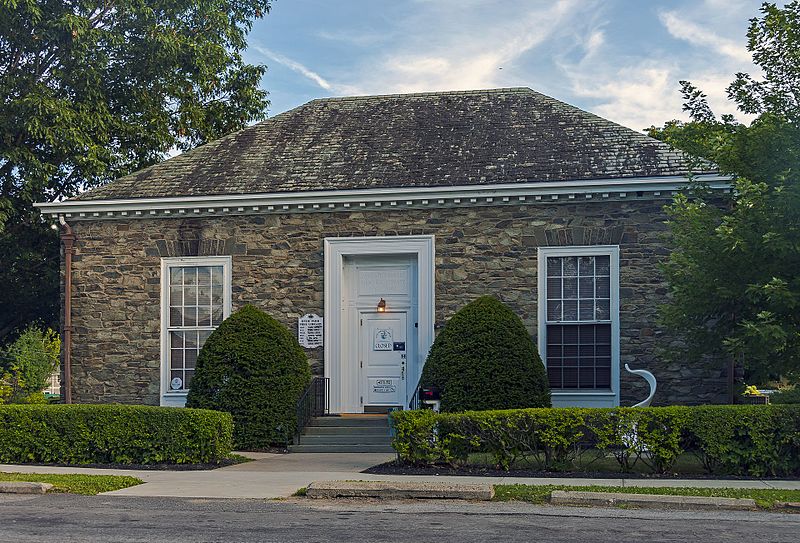
The Main Street–Albertson Street–Park Place Historic District is located in the residential neighborhood just west of US 9 near central Hyde Park, New York, United States. It is a predominantly residential area of 6.8 acres along the named streets, also including Hyde Park's library and a few former church buildings since converted into houses. ()
Coordinates: 41°47'24"N, 73°56'14"W
Address
Hyde Park VillageHyde Park
ContactAdd
Social media
Add
Day trips
Main Street–Albertson Street–Park Place Historic District – popular in the area (distance from the attraction)
Nearby attractions include: Vanderbilt Mansion National Historic Site, St. James Chapel, Church of Regina Coeli, Hyde Park Reformed Dutch Church.
Frequently Asked Questions (FAQ)
Which popular attractions are close to Main Street–Albertson Street–Park Place Historic District?
Nearby attractions include Hyde Park Firehouse, Hyde Park (3 min walk), St. James Chapel, Hyde Park (4 min walk), Hyde Park Reformed Dutch Church, Hyde Park (4 min walk), Church of Regina Coeli, Hyde Park (5 min walk).
How to get to Main Street–Albertson Street–Park Place Historic District by public transport?
The nearest stations to Main Street–Albertson Street–Park Place Historic District:
Bus
Bus
- Route 9 & West Market Street • Lines: C (3 min walk)


