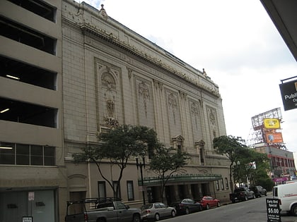
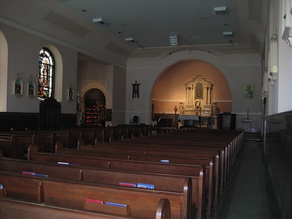
State Palace Theatre, New Orleans
Map
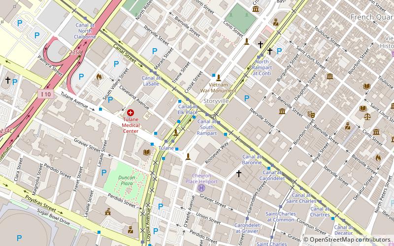
Map

Facts and practical information
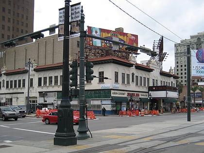
State Palace Theatre is a performing arts venue located in downtown New Orleans, Louisiana. It is located at the uptown lake corner of Canal Street and Rampart Street. The Saenger Theater is directly opposite the State Palace on Canal Street. ()
Coordinates: 29°57'20"N, 90°4'24"W
Address
French Quarter - CBD (Central Business District)New Orleans
ContactAdd
Social media
Add
Day trips
State Palace Theatre – popular in the area (distance from the attraction)
Nearby attractions include: Carousel Bar, Saint Louis Cemetery, Hermann-Grima House, French Opera House.
Frequently Asked Questions (FAQ)
Which popular attractions are close to State Palace Theatre?
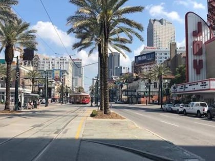
Nearby attractions include Joy Theater, New Orleans (2 min walk), Orpheum Theater, New Orleans (2 min walk), Canal Street, New Orleans (2 min walk), Saenger Theatre, New Orleans (3 min walk).
How to get to State Palace Theatre by public transport?
The nearest stations to State Palace Theatre:
Tram
Bus
Train
Tram
- Canal at Basin • Lines: 47 (2 min walk)
- Tulane • Lines: 47 (3 min walk)
Bus
- FlixBus New Orleans • Lines: 2210, 2211, 2221 (18 min walk)
- New Orleans Union Passenger Terminal (19 min walk)
Train
- New Orleans (19 min walk)
