Bowlin Stadium, Lincoln
Map
Facts and practical information
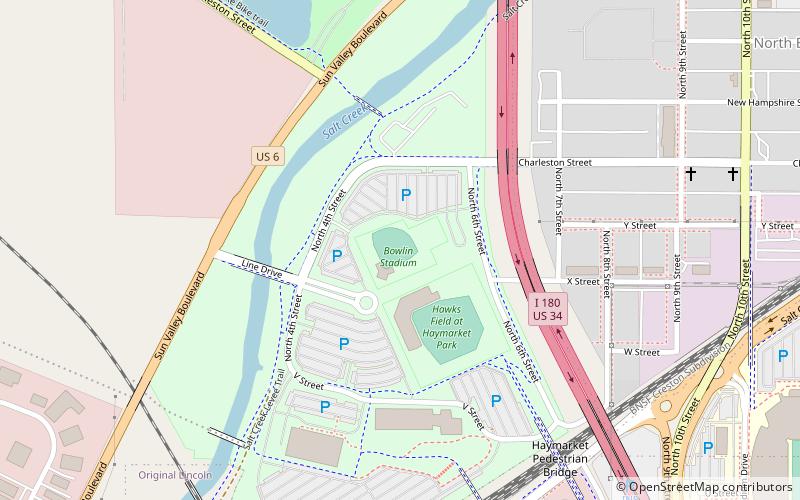
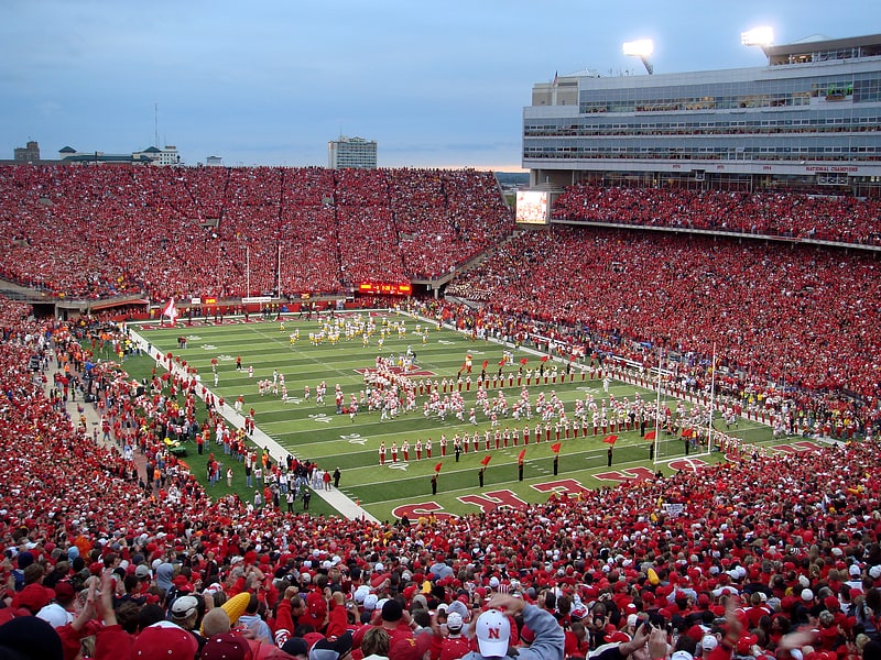
Bowlin Stadium is a softball stadium in the Haymarket District of Lincoln, Nebraska. It is less than a mile west of the University of Nebraska–Lincoln and is the home venue of the school's softball team. Bowlin Stadium is adjacent to the larger Hawks Field, which hosts Nebraska's baseball team. ()
Coordinates: 40°49'27"N, 96°42'52"W
Address
Lincoln
ContactAdd
Social media
Add
Getting there by public transportation
Public transportation stops near this location
- Bus
- Train
 Bus
Bus
- Calculate routeLincoln 15 min walk
- Calculate routeGold's- 11th Street 24 min walk
Day trips


Frequently Asked Questions (FAQ)
Which popular attractions are close to Bowlin Stadium?
Nearby attractions include Pinnacle Bank Arena, Lincoln (12 min walk), Memorial Stadium, Lincoln (14 min walk), Haymarket District, Lincoln (16 min walk), Old University Library, Lincoln (17 min walk).
How to get to Bowlin Stadium by public transport?
The nearest stations to Bowlin Stadium:
Train
Bus
Train
- Lincoln (15 min walk)
Bus
- Gold's- 11th Street • Lines: 13 (24 min walk)