Quincy Point, Quincy
Map

Gallery

Facts and practical information
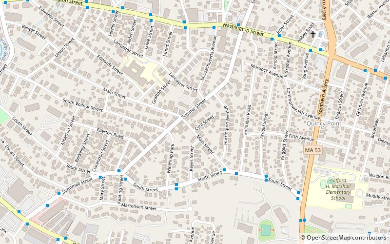
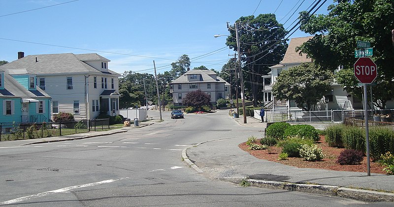
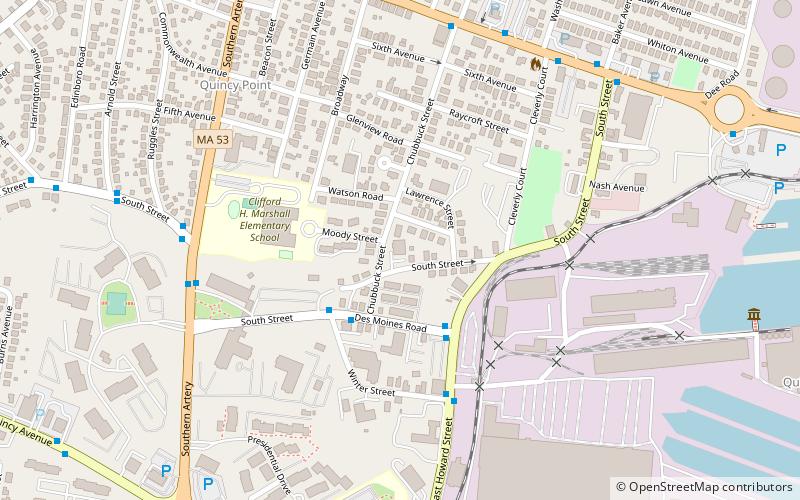
Quincy Point is a neighborhood of Quincy, Massachusetts. "The Point" is generally defined as the land east of Quincy Center, the downtown district. Quincy Point is bordered on the west by Elm Street, on the east by Weymouth Fore River and the Braintree city line, on the north by Town River and on the south by Quincy Avenue. The area altitude averages about 30 feet above sea level. The population of this neighborhood in 2000 was 11,414. ()
Coordinates: 42°14'45"N, 70°59'19"W
Address
Quincy (Quincy Point)Quincy
ContactAdd
Social media
Add
Day trips
Quincy Point – popular in the area (distance from the attraction)
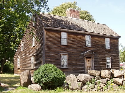
Nearby attractions include: United First Parish Church, John Adams Birthplace, Hancock Cemetery, Thomas Crane Public Library.
Frequently Asked Questions (FAQ)
Which popular attractions are close to Quincy Point?
Nearby attractions include Quincy Mosque, Quincy (13 min walk), Dr. Frank Davis House, Quincy (14 min walk), House at 25 High School Avenue, Quincy (15 min walk), Fore River Club House, Quincy (15 min walk).
How to get to Quincy Point by public transport?
The nearest stations to Quincy Point:
Bus
Metro
Train
Bus
- Quincy Center (25 min walk)
- Quincy Center Station - Inbound • Lines: 240-2 inbound, 240-3 inbound (26 min walk)
Metro
- Quincy Center • Lines: Red (25 min walk)
Train
- Quincy Center (25 min walk)


