Newburyport Historic District, Newburyport

Gallery (1)
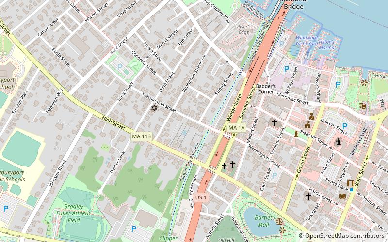
Map
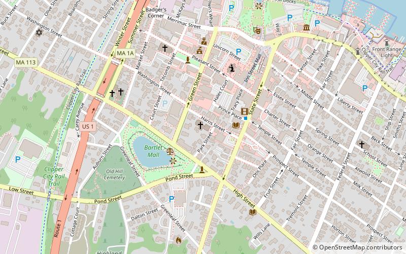
Map
Facts and practical information
The Newburyport Historic District encompasses most of the historic downtown area of Newburyport, Massachusetts. It is roughly bounded by the Merrimack River, Marlboro Street, Ashland Street and High Streets. Covering some 750 acres of land and more than 2,500 contributing buildings, it includes the most populous part of the city, and a panoply of architectural styles, dating from the 17th century to the early 20th century. The district was added to the National Register of Historic Places in 1984. ()
Coordinates: 42°48'41"N, 70°52'40"W
Address
Newburyport (High Street Neighborhood)Newburyport
ContactAdd
Social media
Add
Getting there by public transportation
Public transportation stops near this location
- Train
 Train
Train
- Calculate routeNewburyport 26 min walk
Day trips
Newburyport Historic District – popular in the area (distance from the attraction)
Nearby attractions include: Cushing House Museum and Garden, First Religious Society Church and Parish Hall, First Presbyterian Church, Newburyport Harbor Front Range Light.


Frequently Asked Questions (FAQ)
Which popular attractions are close to Newburyport Historic District?
Nearby attractions include Newburyport Public Library, Newburyport (2 min walk), Brown Square, Newburyport (6 min walk), Annunciation Greek Orthodox Church, Newburyport (8 min walk), First Religious Society Church and Parish Hall, Newburyport (9 min walk).
How to get to Newburyport Historic District by public transport?
The nearest stations to Newburyport Historic District:
Train
Train
- Newburyport (26 min walk)