Olneyville, Providence
Map

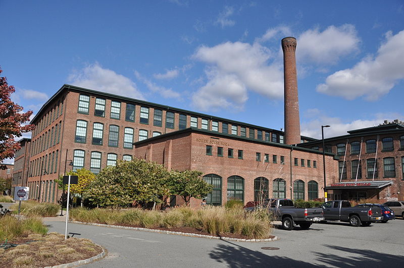
Gallery

Facts and practical information
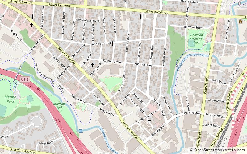
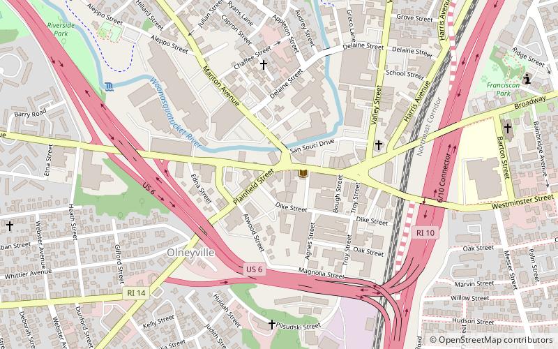
Olneyville is a neighborhood in Providence, Rhode Island bordered by Atwells Avenue to the north, U.S. Route 6 to the south and Rhode Island Route 10 to the east. The Woonasquatucket River runs through the southern portion of the neighborhood. The area is roughly triangular. ()
Coordinates: 41°49'17"N, 71°26'46"W
Address
OlneyvilleProvidence
ContactAdd
Social media
Add
Day trips
Olneyville – popular in the area (distance from the attraction)
Nearby attractions include: Columbus Theatre, Holy Ghost Church, Dirt Palace, Bell Street Chapel.
Frequently Asked Questions (FAQ)
Which popular attractions are close to Olneyville?
Nearby attractions include St. Adalbert's Parish, Providence (6 min walk), Our Lady of Lourdes Church Complex, Providence (8 min walk), Yellow Peril Gallery, Providence (8 min walk), Dirt Palace, Providence (9 min walk).
How to get to Olneyville by public transport?
The nearest stations to Olneyville:
Bus
Bus
- Stop and Shop on Manton • Lines: 27, 56 (33 min walk)
- Fruit Hill and Huber • Lines: 27 (37 min walk)


