Lincoln Boulevard, Ballona Wetlands

Map
Facts and practical information
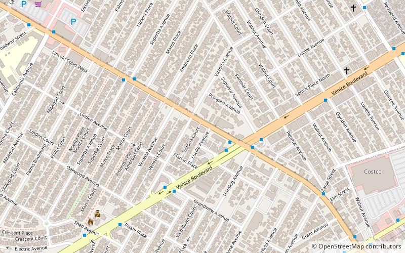
Lincoln Boulevard is a major northwest–southeast boulevard near Santa Monica Bay in Los Angeles County in California. Over 8 miles in length, it connects Los Angeles International Airport with Santa Monica. A portion of Lincoln Boulevard is signed as part of California State Route 1, making it a major route to go along the Pacific Coast in Los Angeles. ()
Coordinates: 33°59'41"N, 118°27'16"W
Address
Silicon Beach (Venice)Ballona Wetlands
ContactAdd
Social media
Add
Day trips
Lincoln Boulevard – popular in the area (distance from the attraction)
Nearby attractions include: L.A. Louver, Burton Chace Park, Marina del Rey, Venice.
Frequently Asked Questions (FAQ)
Which popular attractions are close to Lincoln Boulevard?
Nearby attractions include First Lutheran Church of Venice, Ballona Wetlands (5 min walk), Social and Public Art Resource Center, Los Angeles (9 min walk), Venice, Los Angeles (10 min walk), Lincoln Place Apartment Homes, Santa Monica (14 min walk).
How to get to Lincoln Boulevard by public transport?
The nearest stations to Lincoln Boulevard:
Bus
Bus
- Lincoln & Venice • Lines: 3, Rapid 3 (3 min walk)
- Venice & Lincoln • Lines: 2 (3 min walk)


