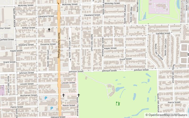
Royal Poinciana, Hollywood

Map
Facts and practical information
Royal Poinciana is a neighborhood in Hollywood, Florida between North Federal Highway and Dixie Highway, north of Hollywood Boulevard and south of Sheridan Street. ()
Coordinates: 26°1'12"N, 80°8'24"W
Address
East Hollywood (Hollywood Lakes)Hollywood
ContactAdd
Social media
Add
Day trips
Royal Poinciana – popular in the area (distance from the attraction)
Nearby attractions include: Art and Culture Center of Hollywood, Young Circle, Friends of the Anne Kolb Nature Center, Hollywood Hot Glass.
Frequently Asked Questions (FAQ)
Which popular attractions are close to Royal Poinciana?
Nearby attractions include Hollywood Hot Glass, Hollywood (16 min walk), Young Circle, Hollywood (16 min walk), Food Trucks at Arts Park, Hollywood (17 min walk), Art and Culture Center of Hollywood, Hollywood (17 min walk).


