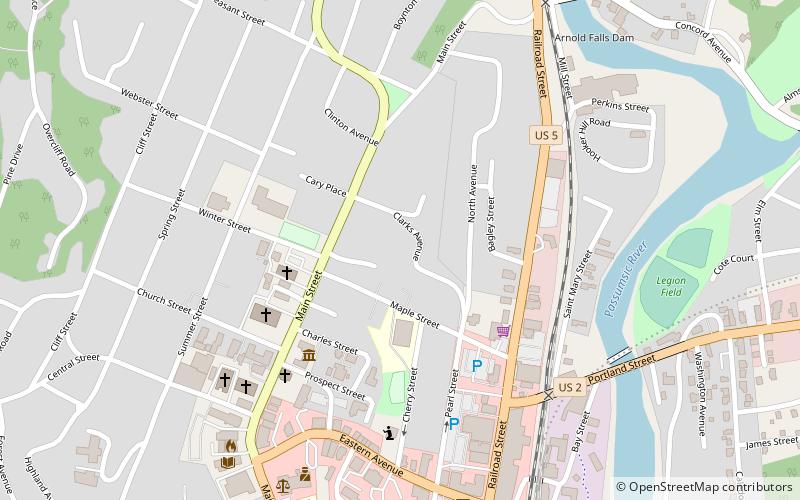
Maple Street–Clarks Avenue Historic District, St. Johnsbury
Map

Map

Facts and practical information
The Maple Street–Clarks Avenue Historic District encompasses a historic 19th-century immigrant neighborhood of St. Johnsbury, Vermont. Located northwest of the downtown area on a sloping hillside, it consists of tenements and single-family houses built for Irish and French Canadian immigrants, sometimes grouped in ways that facilitated the support of large extended families. The district was listed on the National Register of Historic Places in 1994. ()
Coordinates: 44°25'18"N, 72°1'4"W
Address
St. Johnsbury
ContactAdd
Social media
Add
Day trips
Maple Street–Clarks Avenue Historic District – popular in the area (distance from the attraction)
Nearby attractions include: Fairbanks Museum & Planetarium, St. Johnsbury Athenaeum, St. Johnsbury History & Heritage Center, St. Johnsbury Federal Fish Culture Station.
Frequently Asked Questions (FAQ)
Which popular attractions are close to Maple Street–Clarks Avenue Historic District?
Nearby attractions include Fairbanks Museum & Planetarium, St. Johnsbury (4 min walk), St. Johnsbury History & Heritage Center, St. Johnsbury (6 min walk), St. Johnsbury Historic District, St. Johnsbury (6 min walk), St. Johnsbury Main Street Historic District, St. Johnsbury (7 min walk).


