Conway Commercial Historic District, Conway
Map

Map

Facts and practical information
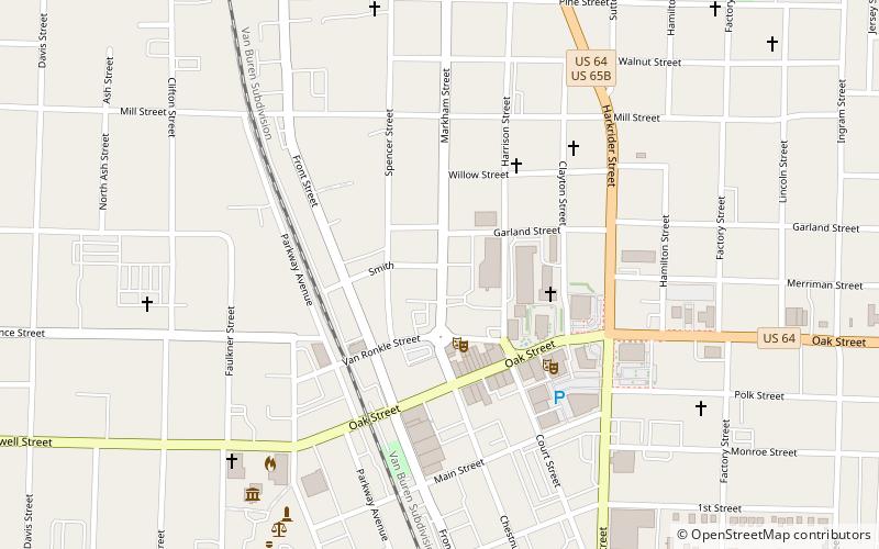
The Conway Commercial Historic District encompasses the historic commercial heart of Conway, Arkansas. The area, roughly bounded by Main Street on the south, Harkrider and Spencer Streets on the east, just south of Mill Street to the north, and Locust Street to the west, was developed between 1879 and 1960, and includes representative architecture from four major phases of the city's development. It includes the city's oldest commercial building, the 1879 Frauenthal & Schwarz Building. ()
Coordinates: 35°5'34"N, 92°26'24"W
Address
Conway
ContactAdd
Social media
Add
Day trips
Conway Commercial Historic District – popular in the area (distance from the attraction)
Nearby attractions include: Faulkner County Museum, First United Methodist Church, Conway Confederate Monument, UCA Torreyson Library.
Frequently Asked Questions (FAQ)
Which popular attractions are close to Conway Commercial Historic District?
Nearby attractions include Greeson-Cone House, Conway (8 min walk), Faulkner County Museum, Conway (9 min walk), O.L. Dunaway House, Conway (9 min walk), First United Methodist Church, Conway (9 min walk).


