Colonial Germantown Historic District, Philadelphia
Map
Facts and practical information
The Colonial Germantown Historic District is a designated National Historic Landmark District in the Germantown and Mount Airy neighborhoods of Philadelphia, Pennsylvania along both sides of Germantown Avenue. This road followed a Native American path from the Delaware River just north of Old City Philadelphia, through Germantown, about 6 miles northwest of Center City Philadelphia, and on to Pottstown. Settlement in the Germantown area began, at the invitation of William Penn, in 1683 by Nederlanders and Germans under the leadership of Francis Daniel Pastorius fleeing religious persecution. ()
Coordinates: 40°1'32"N, 75°9'39"W
Address
Upper NorthwestPhiladelphia
ContactAdd
Social media
Add
Getting there by public transportation
Public transportation stops near this location
- Metro
- Bus
- Train
 Metro
Metro
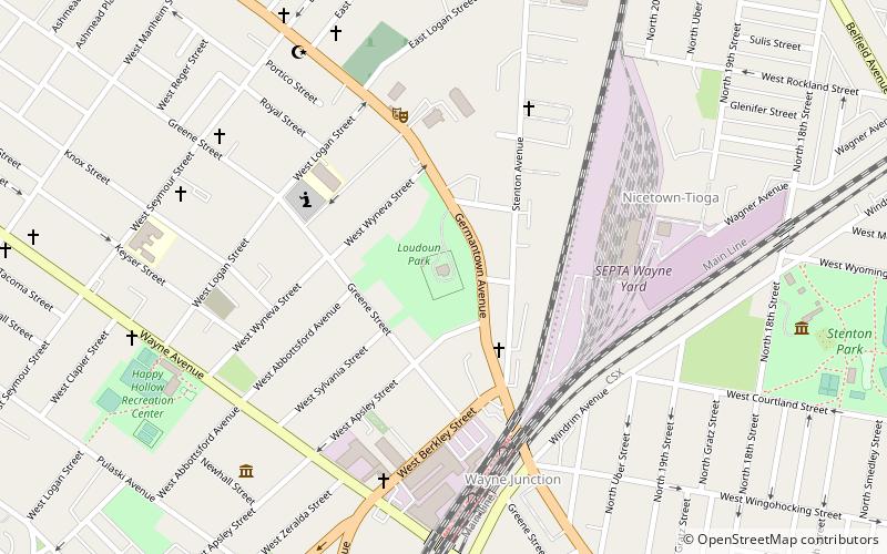
- Calculate routeWayne Junction 6 min walk
- Calculate routeWister 19 min walk
- Calculate routeQueen Lane 24 min walk
- Calculate routeGermantown 27 min walk
- Calculate routeWyoming 18 min walk
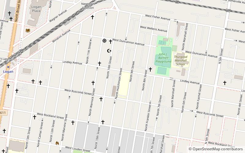
- Calculate routeLogan 21 min walk
- Calculate routeHunting Park 21 min walk
- Calculate routeErie 32 min walk
- Calculate routeOlney Transportation Center 33 min walk
Maps SEPTA Regional Rail
SEPTA Regional RailDay trips


Frequently Asked Questions (FAQ)
Which popular attractions are close to Colonial Germantown Historic District?
Nearby attractions include Charles Schaeffer School, Philadelphia (3 min walk), Fisher's Lane, Philadelphia (7 min walk), Edwin Fitler Academics Plus School, Philadelphia (8 min walk), Stenton Mansion, Philadelphia (9 min walk).
How to get to Colonial Germantown Historic District by public transport?
The nearest stations to Colonial Germantown Historic District:
Train
Metro
Bus
Train
- Wayne Junction (6 min walk)
- Wister (19 min walk)
Metro
- Wyoming • Lines: Bsl (18 min walk)
- Logan • Lines: Bsl (21 min walk)
Bus
- Olney Transportation Center (33 min walk)