Dogtown, St. Louis
Map

Map

Facts and practical information
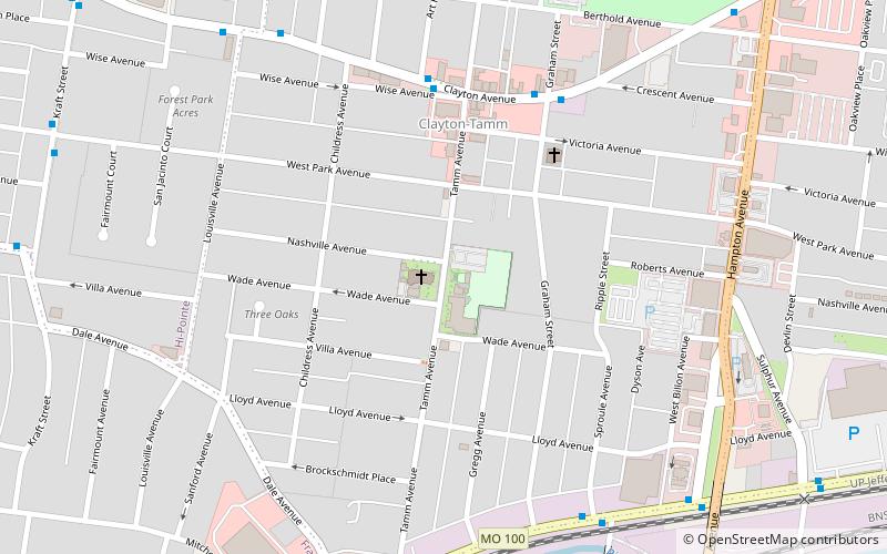
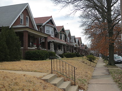
Dogtown is a traditionally Irish section of St. Louis, Missouri. It is located south of Forest Park, with its southeastern edge abutting the traditionally Italian section of town, The Hill neighborhood. The neighborhood is anchored by St. James the Greater Catholic Church. ()
Coordinates: 38°37'33"N, 90°17'36"W
Address
Dogtown (Clayton-Tamm)St. Louis
ContactAdd
Social media
Add
Day trips
Dogtown – popular in the area (distance from the attraction)
Nearby attractions include: Forest Park, Saint Louis Art Museum, Saint Louis Zoo, Apotheosis of St. Louis.
Frequently Asked Questions (FAQ)
Which popular attractions are close to Dogtown?
Nearby attractions include Clayton/Tamm, St. Louis (5 min walk), Turtle Park, St. Louis (11 min walk), Hi-Pointe, St. Louis (16 min walk), Bayer Insectarium, St. Louis (17 min walk).
How to get to Dogtown by public transport?
The nearest stations to Dogtown:
Train
Train
- River's Edge Station (15 min walk)
- Red Rocks Station (16 min walk)


