Midway Park, Chicago
Map
Map

Facts and practical information
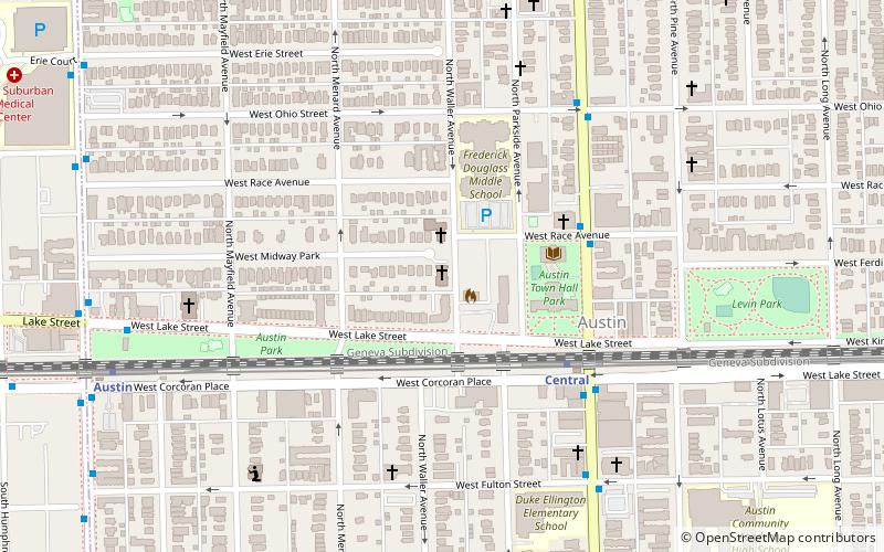
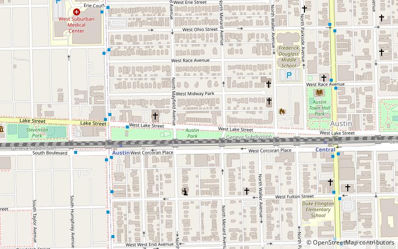
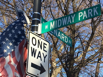
Midway Park is a sub-neighborhood of Austin in Chicago, Illinois. This Chicago landmark district lies both north and south of Lake Avenue. The northerly section is bounded by West Lake Street, West Ohio Street, North Waller Avenue and North Austin Street. The southerly portion runs north from West End Avenue to Corcoran Place and west from Parkside Avenue to Menard Avenue. ()
Coordinates: 41°53'17"N, 87°46'16"W
Address
1130 Midway Plaisance NWest Side (Austin)Chicago
ContactAdd
Social media
Add
Day trips
Midway Park – popular in the area (distance from the attraction)
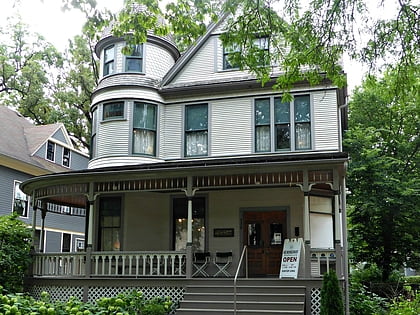
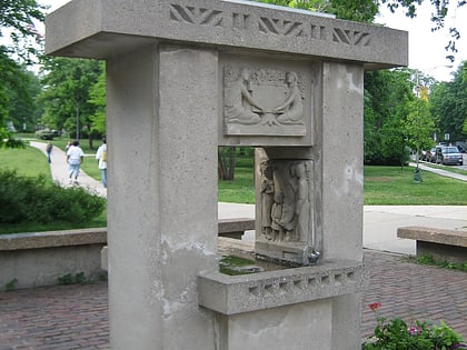
Nearby attractions include: Birthplace of Ernest Hemingway, Horse Show Fountain, Oak Park Village Hall, Oak Park Township.
Frequently Asked Questions (FAQ)
Which popular attractions are close to Midway Park?
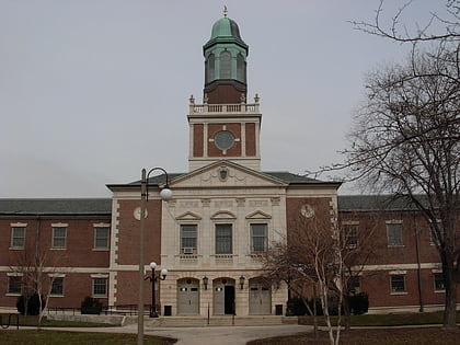
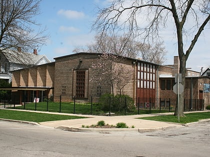
Nearby attractions include Third Unitarian Church, Chicago (4 min walk), Greater Holy Temple Church of God in Christ, Chicago (5 min walk), Austin Town Hall Park, Chicago (7 min walk), Seth Warner House, Chicago (11 min walk).
How to get to Midway Park by public transport?
The nearest stations to Midway Park:
Bus
Metro
Bus
- Lake & Austin • Lines: 309, 313, 315 (5 min walk)
- Corcoran & Austin • Lines: 309, 313, 315 (6 min walk)
Metro
- Austin • Lines: Green (5 min walk)
- Central • Lines: Green (8 min walk)
 Rail "L"