Hell's Half Acre, Fort Worth

Map
Facts and practical information
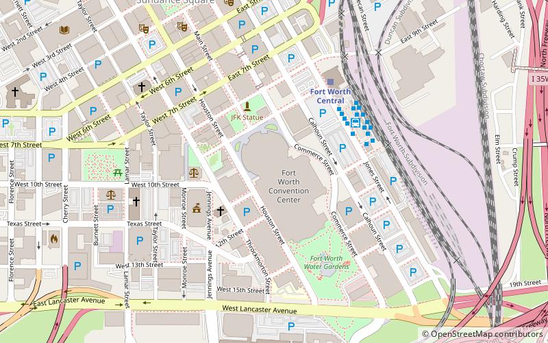
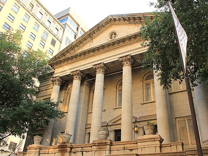
Hell's Half Acre was a precinct of Fort Worth, Texas designated as a red-light district beginning in the early to mid 1870s in the Old Wild West. It came to be called the town's "Bloody Third ward" because of the violence and lawlessness in the area. ()
Coordinates: 32°45'1"N, 97°19'42"W
Address
Downtown Fort WorthFort Worth
ContactAdd
Social media
Add
Day trips
Hell's Half Acre – popular in the area (distance from the attraction)
Nearby attractions include: Fort Worth Convention Center, Fort Worth Water Gardens, Bass Performance Hall, St. Patrick Cathedral.
Frequently Asked Questions (FAQ)
Which popular attractions are close to Hell's Half Acre?
Nearby attractions include Flatiron Building, Fort Worth (3 min walk), St. Patrick Cathedral, Fort Worth (4 min walk), JFK Tribute in Fort Worth, Fort Worth (4 min walk), Fort Worth City Hall, Fort Worth (4 min walk).
How to get to Hell's Half Acre by public transport?
The nearest stations to Hell's Half Acre:
Bus
Train
Bus
- FlixBus Fort Worth • Lines: 2221, 2240 (4 min walk)
- S6 • Lines: 10 (5 min walk)
Train
- Fort Worth Central (5 min walk)
- Fort Worth T&P (9 min walk)


