MS Mitch Mitchell Floodway, Wichita
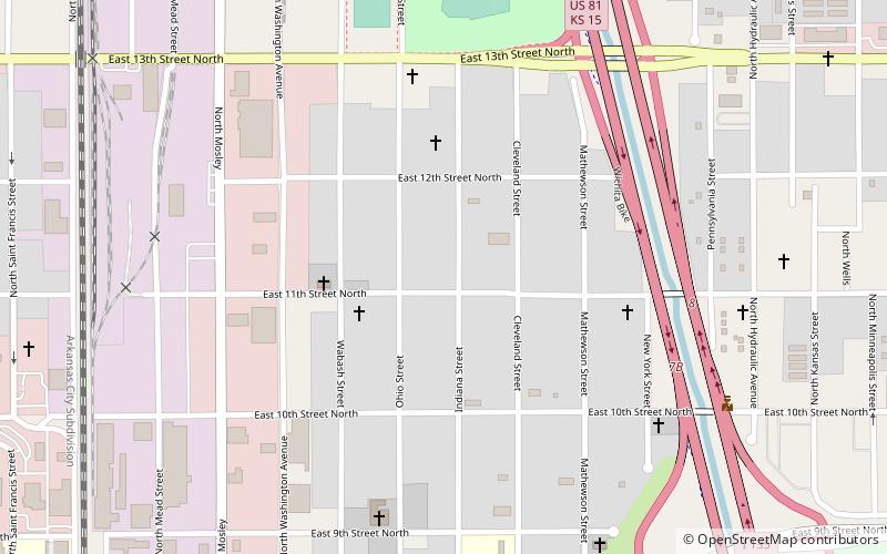
Map
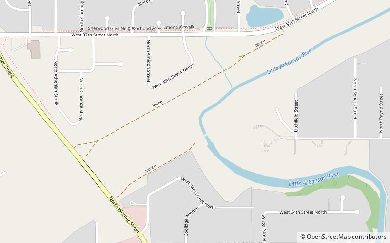
Map

Facts and practical information
The MS Mitch Mitchell Floodway, formerly the Wichita-Valley Center Floodway and known locally as “The Big Ditch”, is a canal in Wichita, Kansas, United States. Built in the 1950s after a series of floods in the preceding decades, the Floodway diverts water from Chisholm Creek, the Little Arkansas River, and the Arkansas River to the west, around central Wichita, before emptying back into the Arkansas downstream of the city. ()
Coordinates: 37°44'57"N, 97°21'40"W
Address
Pleasant ValleyWichita
ContactAdd
Social media
Add
Day trips
MS Mitch Mitchell Floodway – popular in the area (distance from the attraction)
Nearby attractions include: Sedgwick County Zoo, Botanica, Old Cowtown Museum, Wichita Art Museum.
Frequently Asked Questions (FAQ)
Which popular attractions are close to MS Mitch Mitchell Floodway?
Nearby attractions include Sherwood Glen, Wichita (14 min walk), Pleasant Valley, Wichita (17 min walk).

