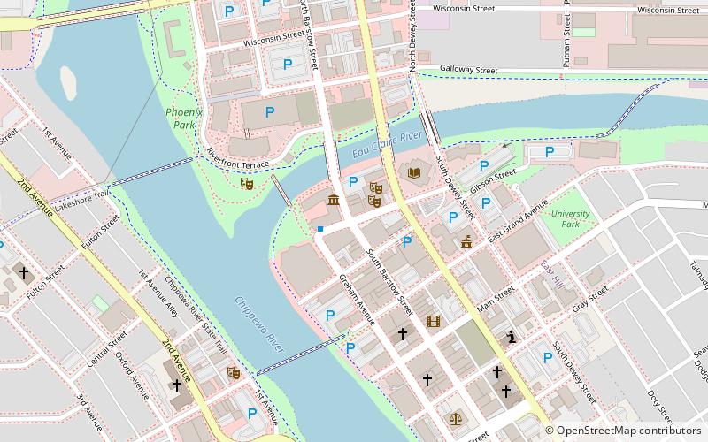
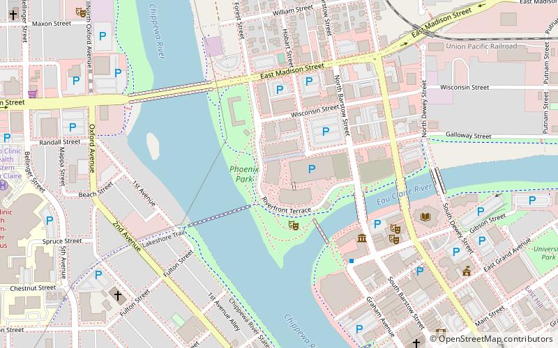
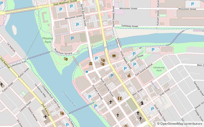
Confluence Commercial Historic District, Eau Claire

Gallery (1)
Map
Map
Facts and practical information
The Confluence Commercial Historic District is located in Eau Claire, Wisconsin. It was added to the National Register of Historic Places in 2007. ()
Coordinates: 44°48'44"N, 91°30'2"W
Address
Downtown Eau ClaireEau Claire
ContactAdd
Social media
Add
Getting there by public transportation
Public transportation stops near this location
- Bus
 Bus
Bus
- Calculate routeSeventh and Broadway NW 21 min walk
- Calculate routeDavies South Entrance 28 min walk
Day trips


Frequently Asked Questions (FAQ)
Which popular attractions are close to Confluence Commercial Historic District?
Nearby attractions include State Theatre, Eau Claire (1 min walk), Eau Claire Public Library, Eau Claire (4 min walk), Antique Emporium, Eau Claire (5 min walk), Phoenix Park, Eau Claire (5 min walk).
How to get to Confluence Commercial Historic District by public transport?
The nearest stations to Confluence Commercial Historic District:
Bus
Bus
- Seventh and Broadway NW • Lines: 9 (21 min walk)
- Davies South Entrance • Lines: 9 (28 min walk)