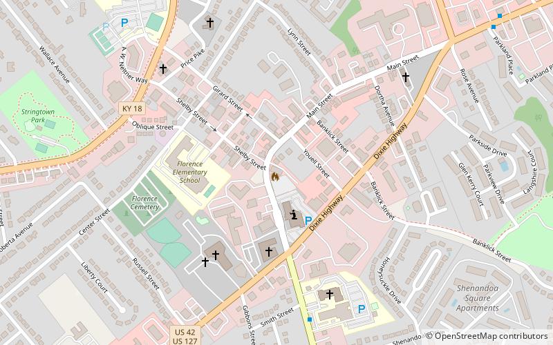
Florence Fire Station, Florence
Map

Map

Facts and practical information
The Florence Fire Station on Main Street in Florence, Kentucky was built in 1937. It was listed on the National Register of Historic Places in 1989. ()
Coordinates: 39°0'3"N, 84°37'37"W
Address
Central FlorenceFlorence
ContactAdd
Social media
Add
Day trips
Florence Fire Station – popular in the area (distance from the attraction)
Nearby attractions include: Florence Mall, Florence Y'all Water Tower, World of Golf, Florence Family Aquatic Center.
Frequently Asked Questions (FAQ)
Which popular attractions are close to Florence Fire Station?
Nearby attractions include John Delehunty House, Florence (7 min walk), Florence Family Aquatic Center, Florence (23 min walk), Florence Fun Dome, Florence (23 min walk).
How to get to Florence Fire Station by public transport?
The nearest stations to Florence Fire Station:
Bus
Bus
- Dixie @Turfway • Lines: 1 (12 min walk)
- Dixie @ Kentaboo • Lines: 1 (21 min walk)


