Moreland-Hoffstot House, Pittsburgh
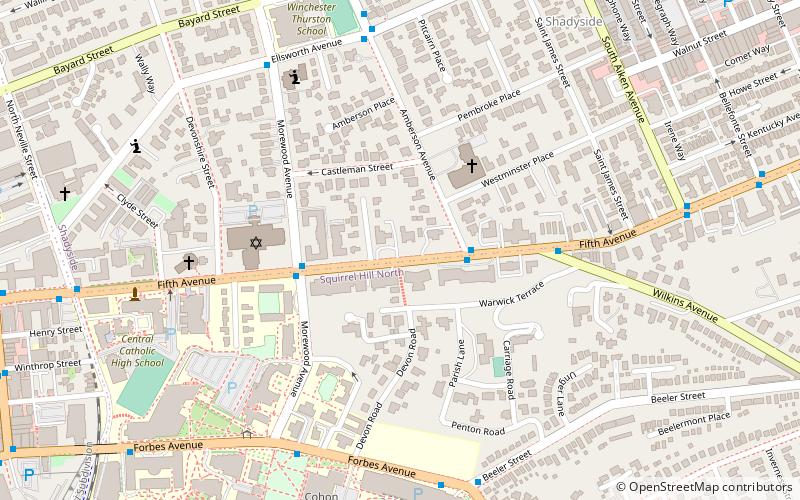
Map

Map

Facts and practical information
The Moreland-Hoffstot House in the Shadyside neighborhood of Pittsburgh, Pennsylvania is a building from 1914. It was listed on the National Register of Historic Places in 1978. ()
Coordinates: 40°26'52"N, 79°56'25"W
Address
East End (Shadyside)Pittsburgh
ContactAdd
Social media
Add
Day trips
Moreland-Hoffstot House – popular in the area (distance from the attraction)
Nearby attractions include: Carnegie Museum of Art, Bob O'Connor Golf Course at Schenley Park, Carnegie Museums of Pittsburgh, Frick Fine Arts Building.
Frequently Asked Questions (FAQ)
Which popular attractions are close to Moreland-Hoffstot House?
Nearby attractions include Negley–Gwinner–Harter House, Pittsburgh (2 min walk), Shadyside Presbyterian Church, Pittsburgh (4 min walk), Rodef Shalom Congregation, Pittsburgh (5 min walk), Rodef Shalom Biblical Botanical Garden, Pittsburgh (5 min walk).
How to get to Moreland-Hoffstot House by public transport?
The nearest stations to Moreland-Hoffstot House:
Bus
Bus
- Fifth Avenue opposite Amberson Avenue • Lines: 71B (2 min walk)


