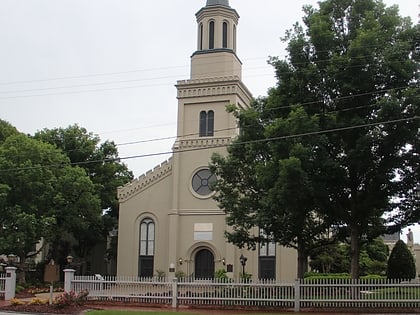
Sand Bar Ferry Bridge, Augusta
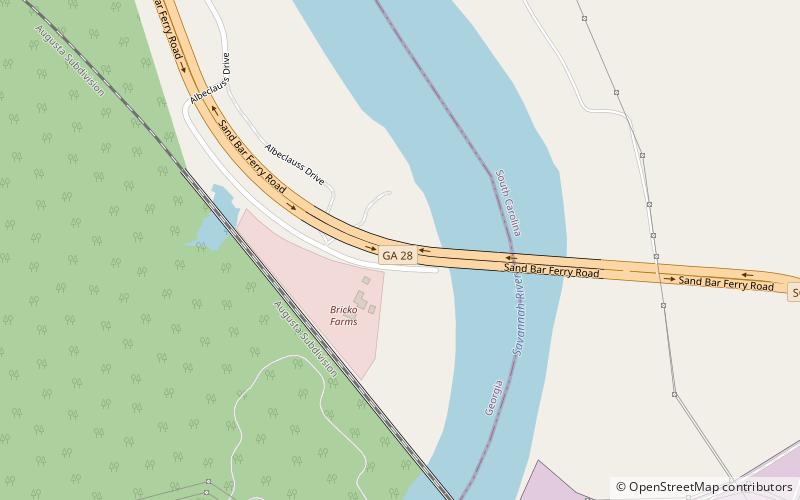
Map
Facts and practical information
The Sand Bar Ferry Bridge is a bridge over the Savannah River along the Richmond–Aiken county line on the eastern edge of Augusta, along the Georgia–South Carolina state line. It carries Georgia State Route 28 and South Carolina Highway 28, which are both known as Sand Bar Ferry Road. ()
Coordinates: 33°26'24"N, 81°54'56"W
Address
East Augusta (Augusta Industrial)Augusta
ContactAdd
Social media
Add
Day trips
Sand Bar Ferry Bridge – popular in the area (distance from the attraction)
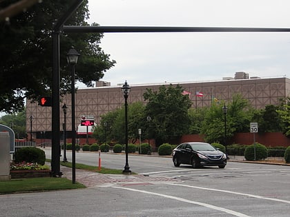
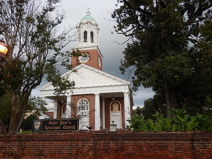
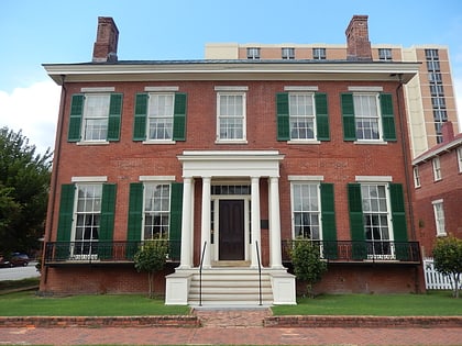
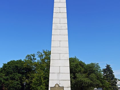
Nearby attractions include: James Brown Arena, Saint Paul's Church, Woodrow Wilson Boyhood Home, Augusta Museum of History.
