Harvard Institute of Politics, Boston
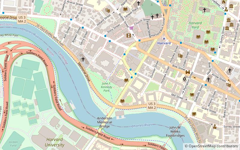
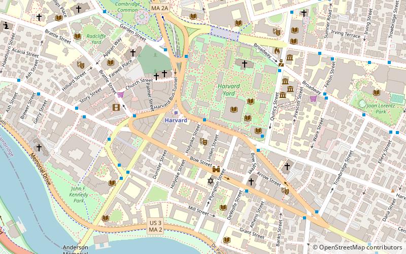
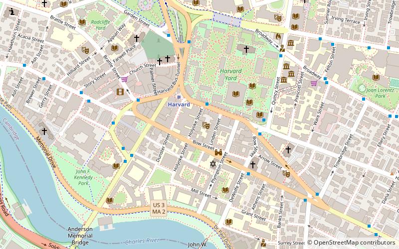
Map
Facts and practical information
The Harvard Institute of Politics is an institute of the John F. Kennedy School of Government of Harvard University that was created to serve as a living memorial to President John F. Kennedy, as well as to inspire Harvard undergraduates to consider careers in politics and public service. The IOP works to bring the academic world into contact with the world of politics and public affairs in a non-partisan way to promote public service. Undergraduates Menat Bahnasy and Kevin Ballen serve as President and Vice President of the Institute. ()
Coordinates: 42°22'17"N, 71°7'20"W
Getting there by public transportation
Public transportation stops near this location
- Metro
- Bus
- Train
 Metro
Metro
- Calculate routeHarvard Square 6 min walk
- Calculate routeMassachusetts Ave @ Holyoke St 7 min walk
- Calculate routeMt Auburn St @ DeWolfe St 9 min walk
- Calculate routeHarvard 7 min walk
- Calculate routeCentral Square 27 min walk
- Calculate routePorter 30 min walk
Maps MBTA Subway
MBTA SubwayDay trips
Harvard Institute of Politics – popular in the area (distance from the attraction)
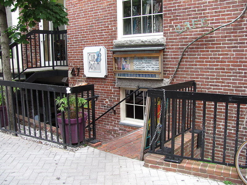
Nearby attractions include: Club Passim, Harvard Lampoon Building, The Harvard Coop, Brattle Theatre.


Frequently Asked Questions (FAQ)
Which popular attractions are close to Harvard Institute of Politics?
Nearby attractions include Harvard University, Boston (2 min walk), Conductor's Building, Boston (3 min walk), Kirkland House, Boston (3 min walk), Craigie Arms, Boston (3 min walk).
How to get to Harvard Institute of Politics by public transport?
The nearest stations to Harvard Institute of Politics:
Bus
Metro
Train
Bus
- Harvard Square (6 min walk)
- Massachusetts Ave @ Holyoke St • Lines: 1, 69 (7 min walk)
Metro
- Harvard • Lines: Red (7 min walk)
- Central Square • Lines: Red (27 min walk)
Train
- Porter (30 min walk)