Manhattan Waterfront Greenway, New York City
Map
Gallery
Facts and practical information
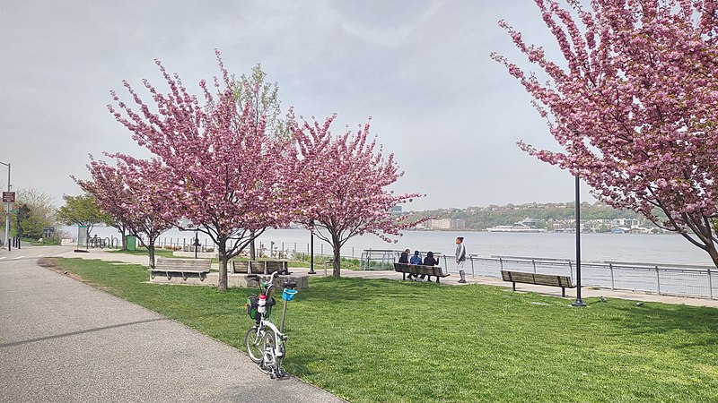
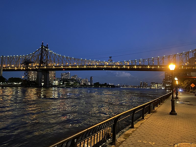
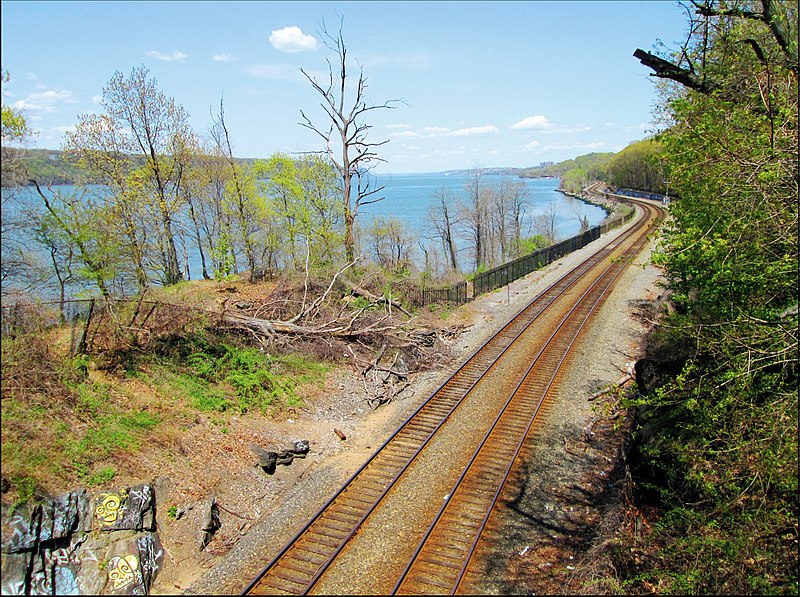
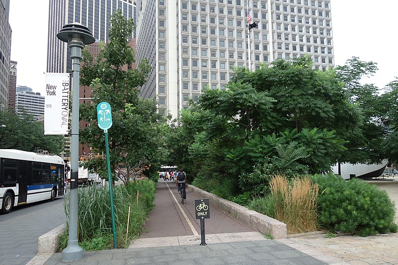
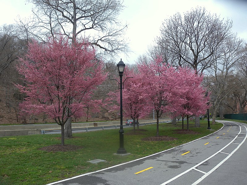
The Manhattan Waterfront Greenway is a waterfront greenway for walking or cycling, 32 miles long, around the island of Manhattan, in New York City. The largest portions are operated by the New York City Department of Parks and Recreation. It is separated from motor traffic, and many sections also separate pedestrians from cyclists. There are three principal parts — the East, Harlem and Hudson River Greenways. ()
Address
Upper Manhattan (Upper West Side)New York City
ContactAdd
Social media
Add
Day trips
Manhattan Waterfront Greenway – popular in the area (distance from the attraction)
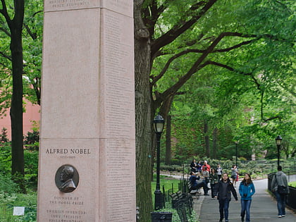
Nearby attractions include: American Museum of Natural History, Nobel Monument, New York Central Railroad 69th Street Transfer Bridge, Bard Graduate Center.
Frequently Asked Questions (FAQ)
Which popular attractions are close to Manhattan Waterfront Greenway?
Nearby attractions include American Memorial to Six Million Jews of Europe, New York City (2 min walk), 79th Street Boat Basin, New York City (5 min walk), All Angels' Church, New York City (8 min walk), 520 West End Avenue, New York City (8 min walk).
How to get to Manhattan Waterfront Greenway by public transport?
The nearest stations to Manhattan Waterfront Greenway:
Bus
Metro
Bus
- 79th St / Riverside Drive • Lines: M79 Sbs (6 min walk)
- Broadway & West 82nd Street • Lines: M104 (8 min walk)
Metro
- 79th Street • Lines: 1, 2 (10 min walk)
- 86th Street • Lines: 1, 2 (10 min walk)



 Subway
 Manhattan Buses
