Main South, Worcester
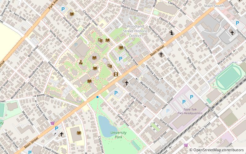
Map

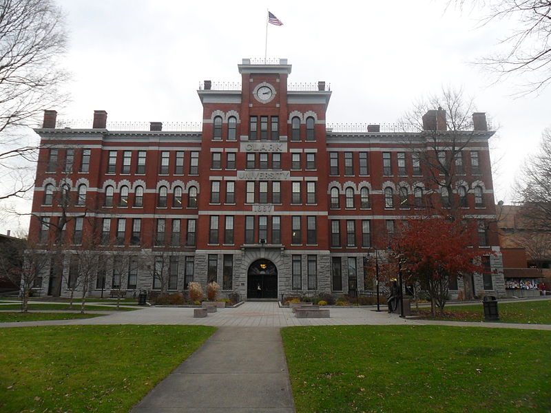
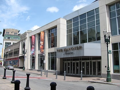
Gallery

Facts and practical information
Main South is a neighborhood in southern Worcester, Massachusetts. The area's eponymous feature is Main Street, the central roadway of the city. Main South experienced rapid economic development from the 1890s until the 1950s. ()
Coordinates: 42°15'3"N, 71°49'16"W
Address
Central City (Beacon Brightly)Worcester
ContactAdd
Social media
Add
Day trips
Main South – popular in the area (distance from the attraction)
Nearby attractions include: DCU Center, Armsby Abbey, Worcester City Hall and Common, Mechanics Hall.
Frequently Asked Questions (FAQ)
Which popular attractions are close to Main South?
Nearby attractions include Robert H. Goddard Library, Worcester (4 min walk), Pilgrim Congregational Church, Worcester (5 min walk), St. Peters Catholic Church, Worcester (5 min walk), Clark University, Worcester (5 min walk).


