Phillips West, Minneapolis
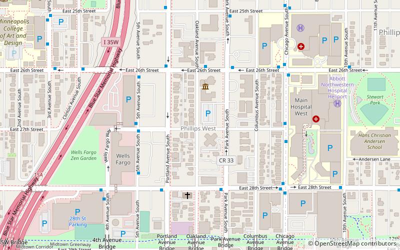
Map
Facts and practical information
Phillips West is a neighborhood within the Phillips community in Minneapolis. Its boundaries are East 22nd Street to the north, Chicago Avenue to the east, East Lake Street to the south, and Interstate 35W to the west. The Phillips community has only been subdivided into smaller neighborhoods within the last couple years; the boundaries of Phillips West were officially designated on April 29, 2005. As this change has been fairly recent, most residents still refer to the area as just "Phillips". ()
Coordinates: 44°57'14"N, 93°15'59"W
Address
Phillips (Phillips West)Minneapolis
ContactAdd
Social media
Add
Getting there by public transportation
Public transportation stops near this location
- Bus
- Light rail
 Bus
Bus
- Calculate routePortland Av 16 min walk
- Calculate routePark Av 16 min walk
- Calculate routeFranklin Avenue 29 min walk
- Calculate routeCedar-Riverside 32 min walk
Day trips


Frequently Asked Questions (FAQ)
Which popular attractions are close to Phillips West?
Nearby attractions include American Swedish Institute, Minneapolis (3 min walk), Bardwell-Ferrant House, Minneapolis (7 min walk), Children's Theatre Company, Minneapolis (11 min walk), Minnesota Artists Exhibition Program, Minneapolis (13 min walk).
How to get to Phillips West by public transport?
The nearest stations to Phillips West:
Bus
Light rail
Bus
- Portland Av • Lines: 2, 2A, 2C (16 min walk)
- Park Av • Lines: 2, 2A, 2C (16 min walk)
Light rail
- Franklin Avenue • Lines: 901 (29 min walk)
- Cedar-Riverside • Lines: 901 (32 min walk)