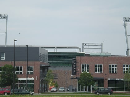
Sporting District, Omaha
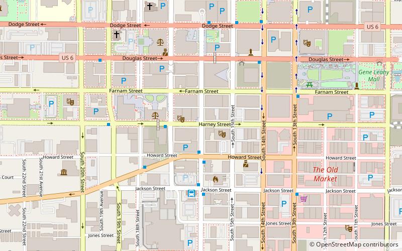
Map
Facts and practical information
The Sporting District was an area near 16th and Harney Streets in Omaha, Nebraska where city boss Tom Dennison kept the majority of his gambling, drinking and prostitution interests from the late 19th century until the end of his reign in 1933. "Cowboy" James Dahlman was reputedly voted to the first of eight terms as mayor of Omaha because he was more tolerant of the Dennison's "Sporting District" in the middle of the city. ()
Coordinates: 41°15'23"N, 95°56'14"W
Address
Downtown OmahaOmaha
ContactAdd
Social media
Add
Day trips
Sporting District – popular in the area (distance from the attraction)
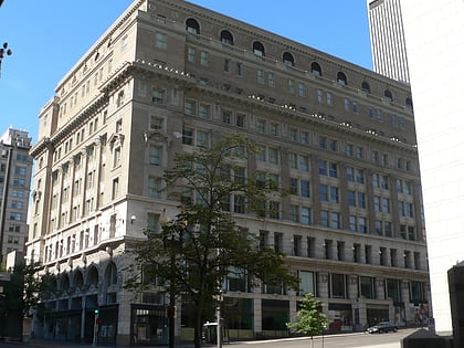
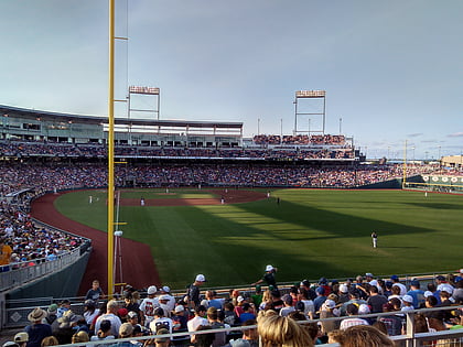
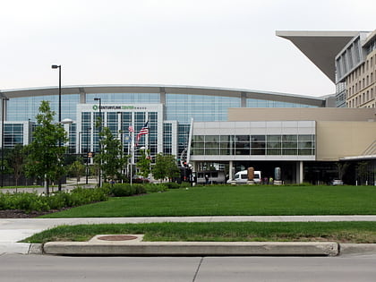
Nearby attractions include: J. L. Brandeis and Sons Store Building, TD Ameritrade Park Omaha, CenturyLink Center Omaha, Joslyn Art Museum.
Frequently Asked Questions (FAQ)
Which popular attractions are close to Sporting District?
Nearby attractions include City National Bank Building, Omaha (1 min walk), First National Bank Building, Omaha (2 min walk), Orpheum Theatre, Omaha (2 min walk), Magic Theatre, Omaha (2 min walk).
How to get to Sporting District by public transport?
The nearest stations to Sporting District:
Bus
Train
Bus
- Omaha Bus Station (4 min walk)
- 14th & Douglas • Lines: 95 (5 min walk)
Train
- Omaha (18 min walk)
