Waltherson, Baltimore

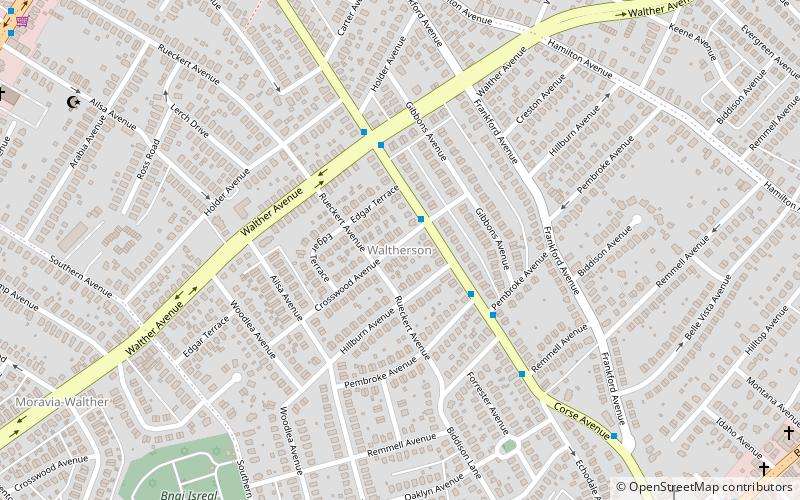
Map
Facts and practical information
Waltherson is a neighborhood located in Northeast Baltimore, Maryland, United States that runs between Harford Road to Belair Road and from Hamilton Ave in the north and Southern Ave in the south. It was later expanded to include the neighborhood of Wilson Heights extending its boundaries along Belair Road to Moravia Road to achieve the boundaries currently seen on Baltimore City's CityView page. ()
Coordinates: 39°20'36"N, 76°33'27"W
Address
Northeastern Baltimore (Waltherson)Baltimore
ContactAdd
Social media
Add
Day trips
Waltherson – popular in the area (distance from the attraction)
Nearby attractions include: Columbus Obelisk, Old Hamilton Library, Frankford, Lauraville.
Frequently Asked Questions (FAQ)
Which popular attractions are close to Waltherson?
Nearby attractions include Old Hamilton Library, Baltimore (16 min walk), Lauraville, Baltimore (22 min walk).
How to get to Waltherson by public transport?
The nearest stations to Waltherson:
Bus
Bus
- Northern Parkway & Alta Avenue Far-side Eastbound • Lines: 33, 36 (36 min walk)


