Las Vegas Historical Society, Las Vegas
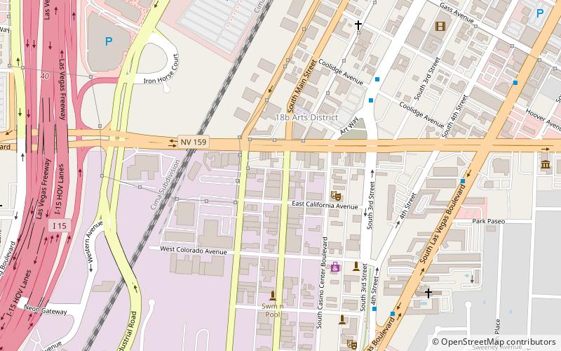
Map
Facts and practical information
The Las Vegas Historical Society was created in 2013 to collect, archive, and display photographs of Las Vegas and the Las Vegas Valley in Nevada, which have not yet been publicly showcased. ()
Coordinates: 36°9'29"N, 115°9'14"W
Address
Downtown Las VegasLas Vegas
ContactAdd
Social media
Add
Getting there by public transportation
Public transportation stops near this location
- Bus
- Train
 Bus
Bus
- Calculate route4th St. @ Las Vegas Blvd. 8 min walk
- Calculate routeCharleston 8 min walk
- Calculate routeLas Vegas Blvd @ Hoover 11 min walk
- Calculate routeSls 28 min walk
Day trips


Frequently Asked Questions (FAQ)
Which popular attractions are close to Las Vegas Historical Society?
Nearby attractions include 18b The Las Vegas Arts District, Las Vegas (3 min walk), Art Square, Las Vegas (4 min walk), Gypsy Den, Las Vegas (6 min walk), Sandhurst Las Vegas, Las Vegas (6 min walk).
How to get to Las Vegas Historical Society by public transport?
The nearest stations to Las Vegas Historical Society:
Bus
Train
Bus
- 4th St. @ Las Vegas Blvd. • Lines: Deuce (8 min walk)
- Charleston • Lines: Deuce (8 min walk)
Train
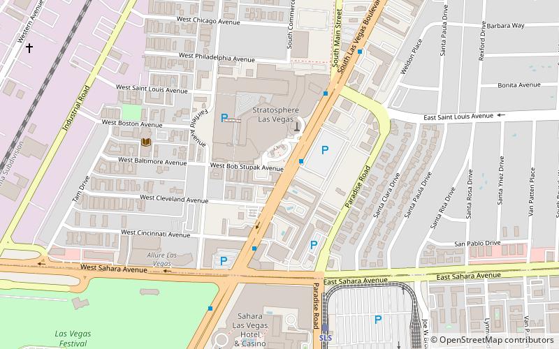
- Sls (28 min walk)