Caplewood Drive Historic District, Tuscaloosa
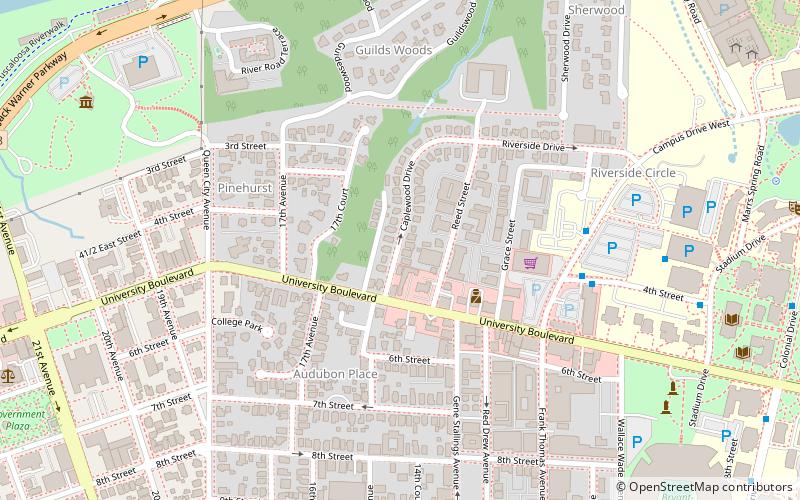
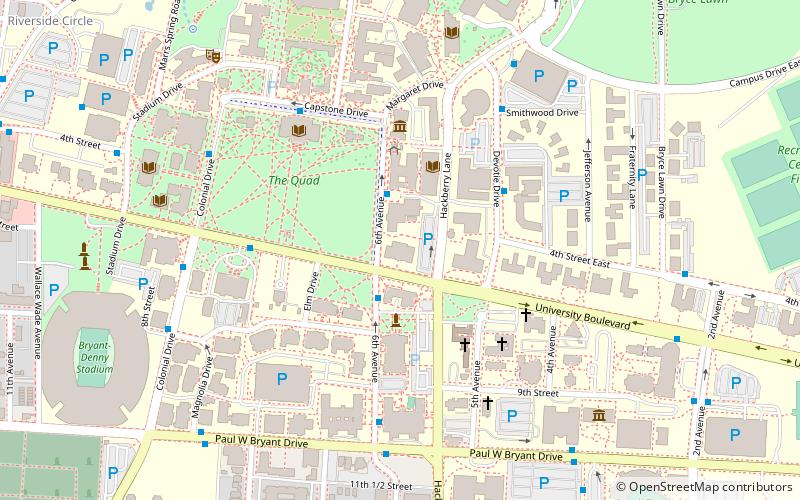
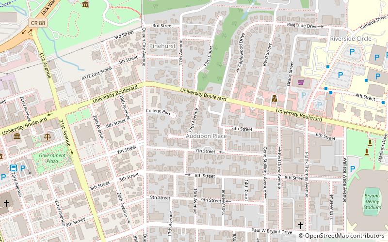
Map
Facts and practical information
Caplewood Drive Historic District, in Tuscaloosa, Alabama, is a residential historic district which was listed on the National Register of Historic Places in 1985. It included 37 contributing buildings out of a total of about 45 buildings, on 11 acres. ()
Area: 11 acres (0.0172 mi²)Elevation: 213 ft a.s.l.Coordinates: 33°12'44"N, 87°33'23"W
Address
University AreaTuscaloosa
ContactAdd
Social media
Add
Day trips
Caplewood Drive Historic District – popular in the area (distance from the attraction)
Nearby attractions include: Bryant-Denny Stadium, Downtown Tuscaloosa Historic District, Bama Theatre, Battle–Friedman House.
Frequently Asked Questions (FAQ)
Which popular attractions are close to Caplewood Drive Historic District?
Nearby attractions include Pinehurst Historic District, Tuscaloosa (3 min walk), Audubon Place Historic District, Tuscaloosa (5 min walk), Guild-Verner House, Tuscaloosa (9 min walk), Maxwell Hall, Tuscaloosa (10 min walk).
How to get to Caplewood Drive Historic District by public transport?
The nearest stations to Caplewood Drive Historic District:
Bus
Bus
- Tuscaloosa Trolley (16 min walk)

