Powers Street Mosque, New York City

Gallery (1)
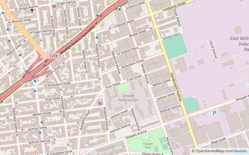
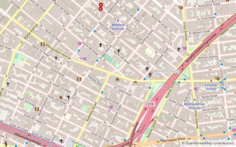
Map
Map
Facts and practical information
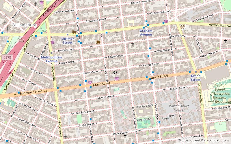
The Powers Street Mosque in Brooklyn, New York City is one of the oldest mosques in the United States. It was founded by a small group of Lipka Tatars, originating from the Białystok region of Poland. This was the first Muslim organization in New York state and the first official mosque for New York City's Muslim population. ()
Coordinates: 40°42'43"N, 73°56'48"W
Address
Northern Brooklyn (Williamsburg)New York City
ContactAdd
Social media
Add
Getting there by public transportation
Public transportation stops near this location
- Metro
 Metro
Metro
- Calculate routeGraham Avenue 6 min walk
- Calculate routeLorimer Street 6 min walk
- Calculate routeMetropolitan Avenue 7 min walk
Maps SubwayMaps
 Manhattan Buses
SubwayMapsManhattan BusesDay trips


Frequently Asked Questions (FAQ)
Which popular attractions are close to Powers Street Mosque?
Nearby attractions include Martinez Playground, New York City (6 min walk), Macri Triangle, New York City (9 min walk), East Williamsburg, New York City (11 min walk), REVERSE art gallery, New York City (13 min walk).
How to get to Powers Street Mosque by public transport?
The nearest stations to Powers Street Mosque:
Metro
Metro
- Graham Avenue • Lines: L (6 min walk)
- Lorimer Street • Lines: L (6 min walk)