Diamond Notch Falls, Hunter
#2 among attractions in Hunter
![Diamond Notch Falls location map](https://tzmedia.b-cdn.net/media/images/static-maps/us/42_17517_-74_25796.jpg)
Facts and practical information
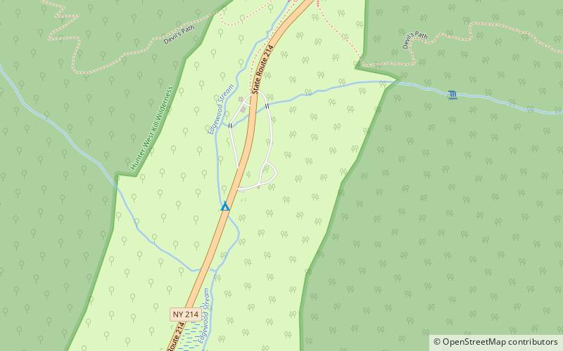
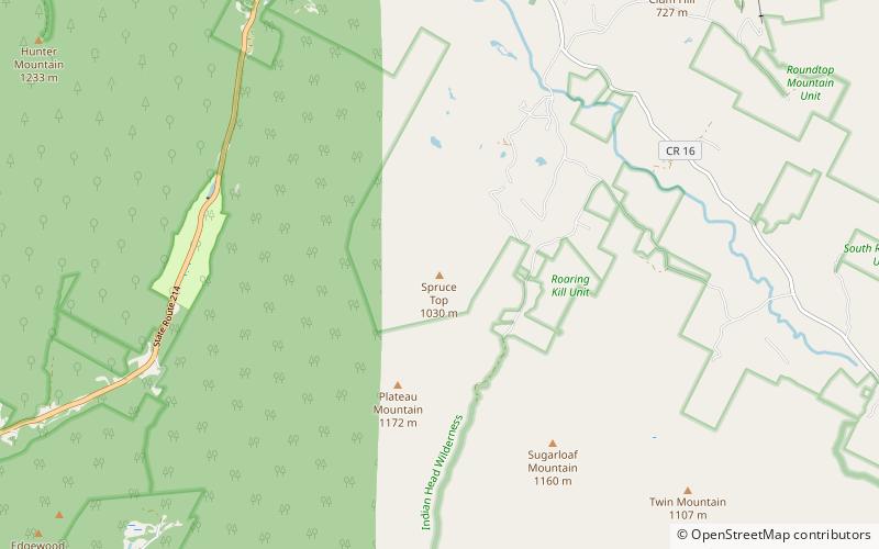
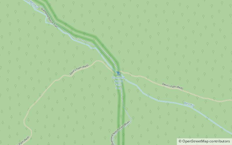
Diamond Notch Falls is a waterfall located on the West Kill, east of Spruceton in the Hunter-West Kill Wilderness in Greene County, New York. Diamond Notch Falls is a side by side waterfall, both being about 15 feet in height. ()
Hunter United States
Hunter plan & book
Unleash the traveler in you — discover the cheapest flight deals, find the perfect hotel or hostel nearby, and search for the best car rental prices. Travel at your own pace to discover new places and enjoy your journey.
Diamond Notch Falls – popular in the area (distance from the attraction)
Nearby attractions include: Colonels Chair, Hunter Mountain, Devils Tombstone, Little Rocky Mountain.
2.2 miNEMountainColonels Chair, Hunter
58 min walk • Colonels Chair is a mountain located in Greene County, New York southwest of Hunter, New York. Located south is Hunter Mountain and to the west is Rusk Mountain. Colonels Chair drains north into Schoharie Creek via Taylor Hollow and Shanty Hollow.
1.4 miENature, Natural attraction, MountainHunter Mountain, Catskill Park
37 min walk • Hunter Mountain is in the towns of Hunter and Lexington, just south of the village of Hunter, in Greene County, New York, United States.
3.1 miSEMountainDevils Tombstone, Catskill Park
79 min walk • Devils Tombstone or the Devil's Tombstone Park, is a park which is named for the large rock which lay at the center of the park, which is located in Greene County, New York.
5 miSEMountainLittle Rocky Mountain, Catskill Park
127 min walk • Little Rocky Mountain is a mountain located in the Catskill Mountains of New York east-southeast of Lanesville. Plateau Mountain is located north, and Olderbark Mountain is located west of Little Rocky Mountain.
3.6 miNWMountainEvergreen Mountain, Catskill Park
92 min walk • Evergreen Mountain is a mountain located in Greene County, New York north of Spruceton, New York. Herdman Brook drains the southeastern portion of the mountain and flows south before converging with West Kill.
1.5 miETowerHunter Mountain Fire Tower, Catskill Park
38 min walk • The Hunter Mountain Fire Tower is located on the summit of the eponymous mountain, second highest of the Catskill Mountains in the U.S. state of New York.
3.6 miNWNature, Natural attraction, MountainRusk Mountain, Catskill Park
93 min walk • Rusk Mountain is a peak located in the towns of Jewett and Lexington in Greene County, New York, United States. At 3,680 feet in elevation, it is the 20th-highest peak in the Catskill Mountains and considered a member of the Catskill High Peaks.
3 miENature, Natural attraction, LakeNotch Lake, Catskill Park
76 min walk • Notch Lake is an artificial lake in Edgewood, New York, in the Town of Hunter in the Catskill Mountains. It is located near the Stony Clove Notch, and is located near the edge of the Devil's Tombstone Campsite, bordering New York State Route 214.
5 miNEMountainEast Jewett Range, Hunter
127 min walk • East Jewett Range is a mountain in Greene County, New York. It is located in the Catskill Mountains west-southwest of Maplecrest. Van Loan Hill is located north, and Onteora Mountain is located east-southeast of East Jewett Range.
5 miSENature, Natural attraction, MountainPlateau Mountain, Catskill Park
128 min walk • Plateau Mountain is located in the town of Hunter in Greene County, New York, United States. It is part of the Devil's Path range of the Catskill Mountains. Plateau has a two-mile-long summit ridge above 3,500 feet.
4.9 miEMountainSpruce Top, Hunter
126 min walk • Spruce Top is a mountain located in Greene County, New York southwest of Tannersville, New York. Located to the southwest is Plateau Mountain and to the southeast is Sugarloaf Mountain.