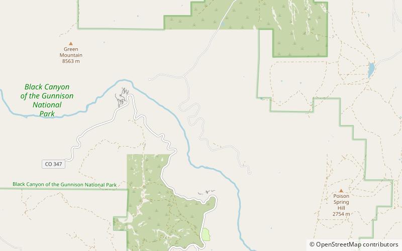
North Rim Road, Black Canyon of the Gunnison National Park
Map

Map

Facts and practical information
The North Rim Road, Black Canyon of the Gunnison National Park, near Crawford, Colorado was built during 1933–38. It is an approximately five mile long roadway, with viewpoints and associated structures. It is recognized as a "designed landscape". It includes five overlooks over the Black Canyon of the Gunnison. ()
Coordinates: 38°34'23"N, 107°41'28"W
Address
Black Canyon of the Gunnison National Park
ContactAdd
Social media
Add
Day trips
North Rim Road – popular in the area (distance from the attraction)
Nearby attractions include: Crystal Dam.

