Culbreath Isles, Tampa
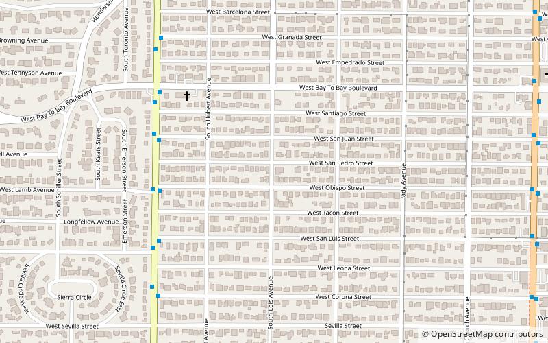
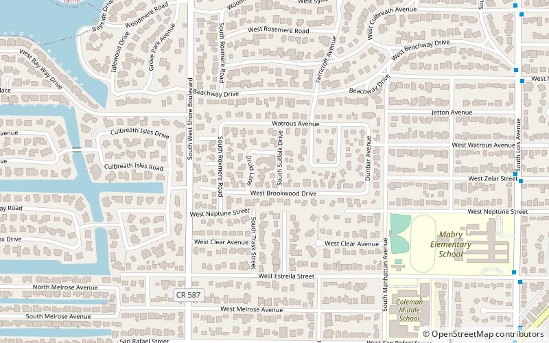
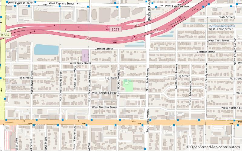
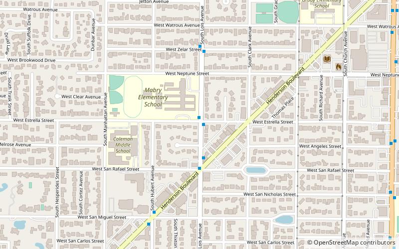
Map
Facts and practical information
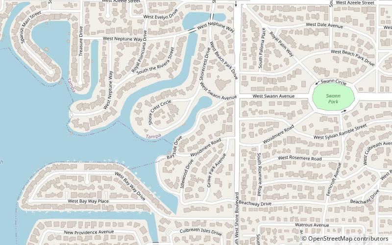
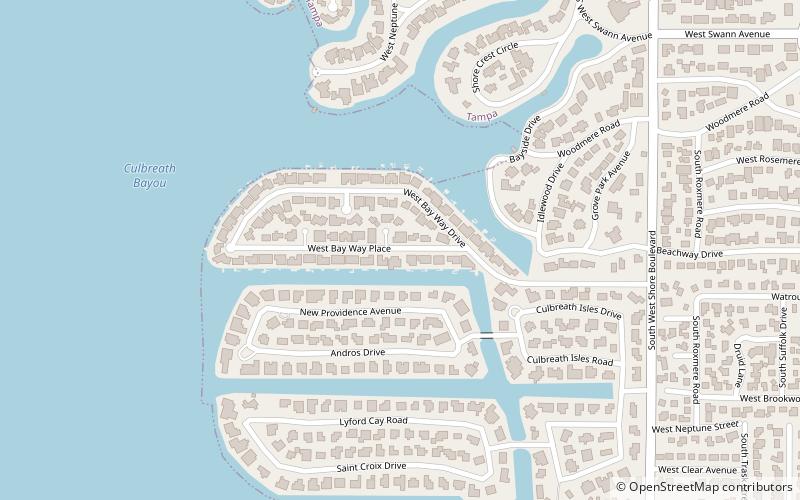
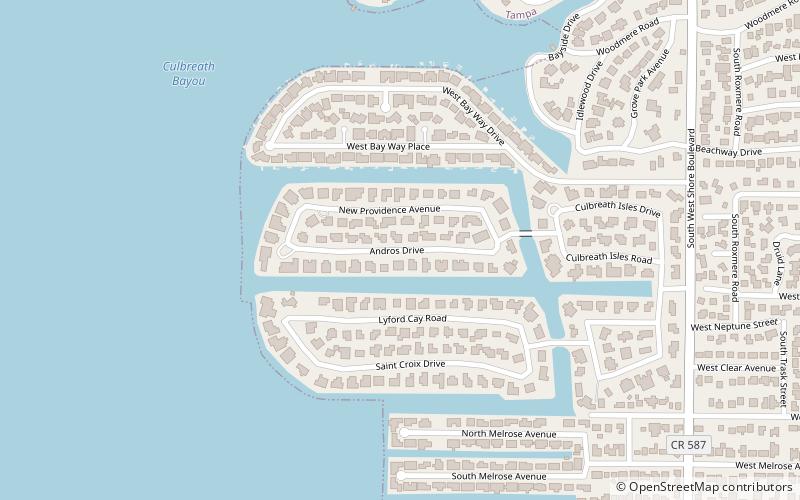
Culbreath Isles is a neighborhood within the South Tampa district of Tampa. As of the 2010 census the neighborhood had a population of 574. The ZIP Codes serving the area are 33609 and 33629. Colonel Harry C. Culbreath of South Carolina and his family first homesteaded this region in the late 1860s cultivating oranges and raising cattle. ()
Coordinates: 27°55'54"N, 82°31'50"W
Address
Southwest Tampa (Culbreath Isles)Tampa
ContactAdd
Social media
Add
Day trips
Culbreath Isles – popular in the area (distance from the attraction)
Nearby attractions include: WestShore Plaza, Maryland Manor, Culbreath Bayou, Westshore Palms.
Frequently Asked Questions (FAQ)
Which popular attractions are close to Culbreath Isles?
Nearby attractions include Beach Park Isles, Tampa (4 min walk), Bayside West, Tampa (12 min walk), Culbreath Bayou, Tampa (14 min walk).
How to get to Culbreath Isles by public transport?
The nearest stations to Culbreath Isles:
Bus
Bus
- Henderson Boulevard @ Hubert Avenue • Lines: HARTFlex (26 min walk)
- Manhattan Avenue @ Palmira Street • Lines: HARTFlex (26 min walk)

