Lower Main Street Historic District, Beacon
Map

Gallery

Facts and practical information
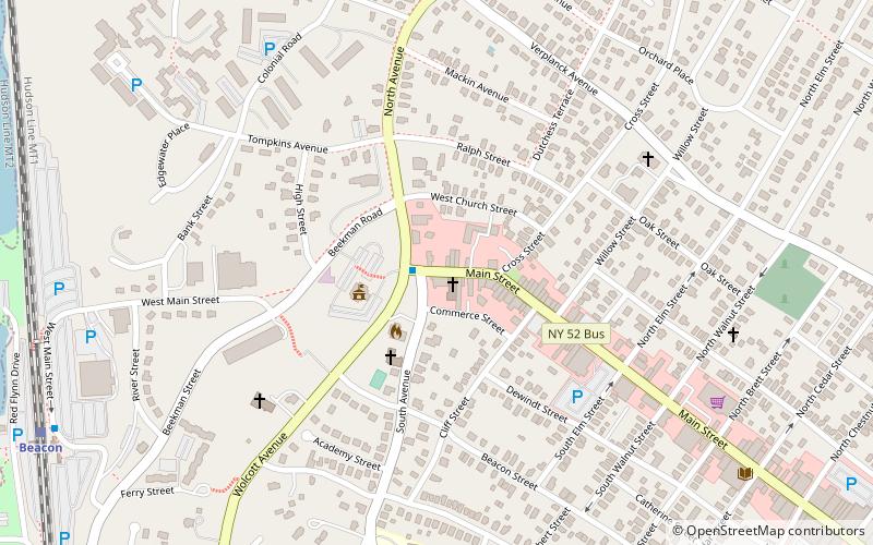
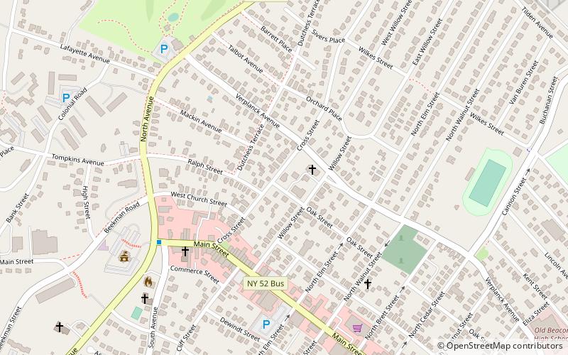
The Lower Main Street Historic District is a historic district comprising the first several blocks of Main Street in Beacon, east of its intersection with South Street, the end of its concurrency with NY 9D. The District covers about 50 acres and includes 32 buildings, most of them in the late 19th-century Italianate style. ()
Architectural style: Renaissance revivalCoordinates: 41°30'30"N, 73°58'37"W
Address
BeaconBeacon
ContactAdd
Social media
Add
Day trips
Lower Main Street Historic District – popular in the area (distance from the attraction)
Nearby attractions include: Dia Beacon, Newburgh–Beacon Bridge, St. Joachim and St. John the Evangelist's Church, Mount Gulian.
Frequently Asked Questions (FAQ)
Which popular attractions are close to Lower Main Street Historic District?
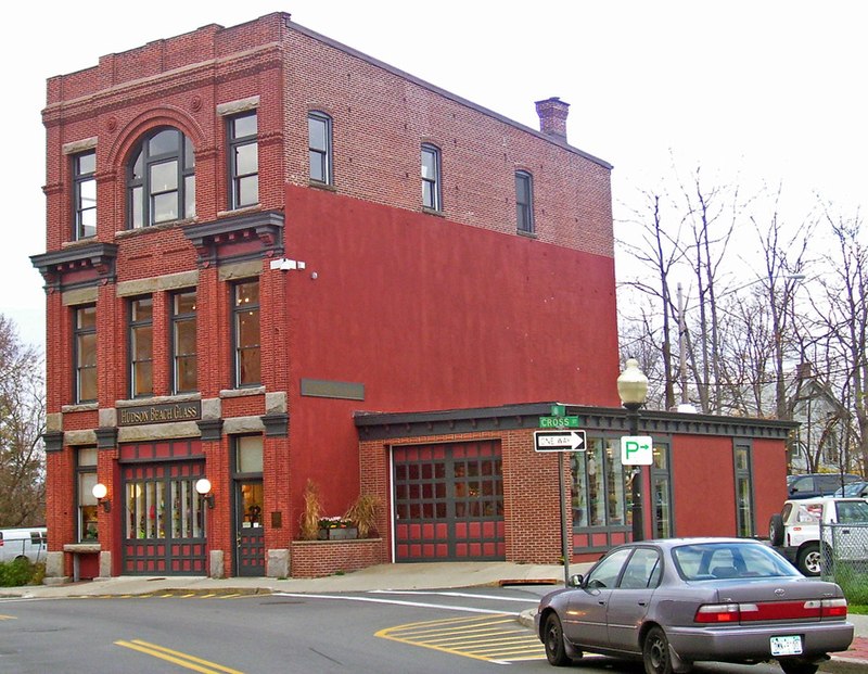
Nearby attractions include Hudson Beach Glass, Beacon (2 min walk), Dream in Plastic, Beacon (3 min walk), St. Joachim and St. John the Evangelist's Church, Beacon (6 min walk), Trinity Methodist Church, Beacon (6 min walk).
How to get to Lower Main Street Historic District by public transport?
The nearest stations to Lower Main Street Historic District:
Bus
Train
Ferry
Bus
- Route 9D & Main Street • Lines: B (1 min walk)
- Beacon Train Station • Lines: 41A, 41P (11 min walk)
Train
- Beacon (11 min walk)
Ferry
- Beacon (14 min walk)


