North Berkeley, Berkeley
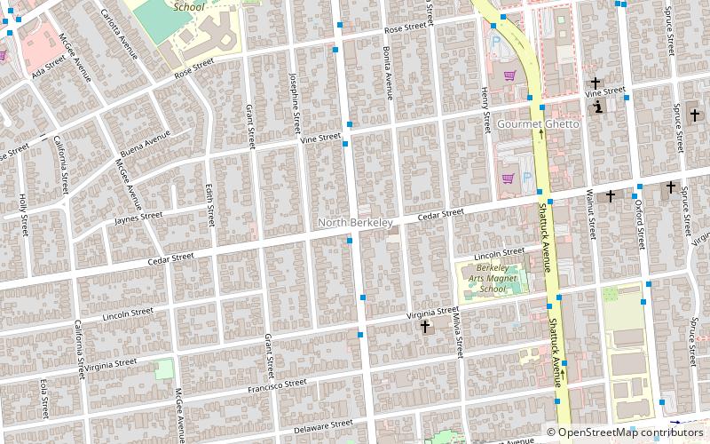
Map
Facts and practical information
North Berkeley is a neighborhood of Berkeley, California. It is situated north of downtown, spanning from Hearst Avenue to Eunice Street, and touches the northwest corner of the UC Berkeley campus. ()
Coordinates: 37°52'41"N, 122°16'25"W
Address
Berkeley (North Berkeley)Berkeley
ContactAdd
Social media
Add
Day trips
North Berkeley – popular in the area (distance from the attraction)
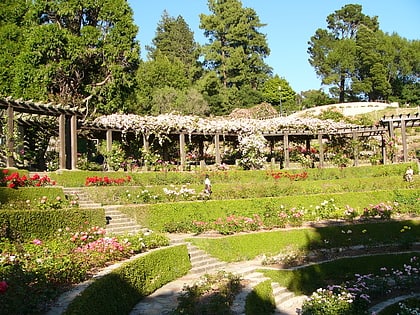
Nearby attractions include: Berkeley Repertory Theatre, Live Oak Park, Berkeley Rose Garden, The UC Theatre.
Frequently Asked Questions (FAQ)
Which popular attractions are close to North Berkeley?
Nearby attractions include Edible Schoolyard, Berkeley (9 min walk), Triple Rock Brewery, Berkeley (11 min walk), Ohlone Park, Berkeley (11 min walk), The UC Theatre, Berkeley (12 min walk).
How to get to North Berkeley by public transport?
The nearest stations to North Berkeley:
Bus
Metro
Bus
- Martin Luther King Junior Way & Cedar Street • Lines: 12, 79 (1 min walk)
Metro
- North Berkeley • Lines: Orange, Red (16 min walk)
- Downtown Berkeley • Lines: Orange, Red (16 min walk)

