Parc Stamford, Stamford
Map
Facts and practical information
Park Tower Stamford is a 36-story condominium property located at 1 Broad Street in Stamford, Connecticut. Real estate developers Thomas Rich and Louis R. Cappelli began planning the project as Park Tower in February 2006; it was renamed as Trump Parc Stamford later that year, after Donald Trump joined the project, and again renamed Park Tower Stamford following the 2021 storming of the United States Capitol. ()
Coordinates: 41°3'19"N, 73°32'34"W
Address
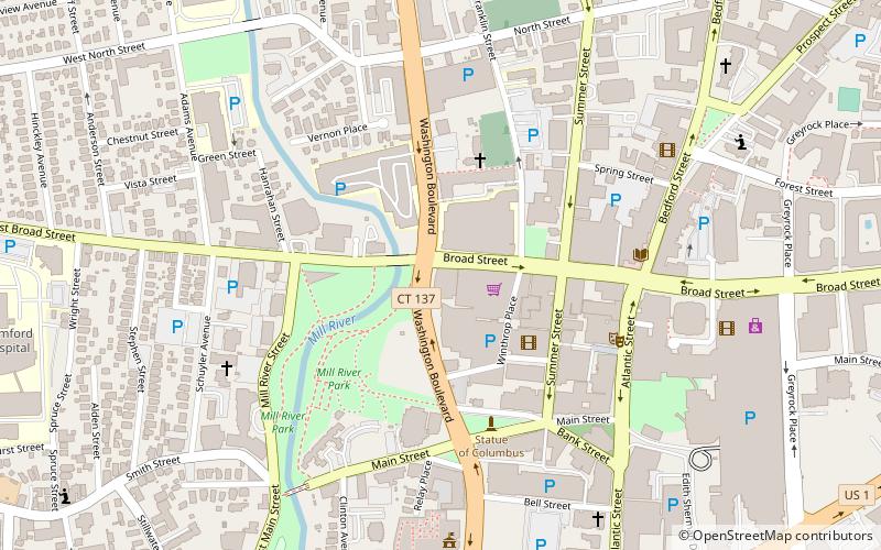
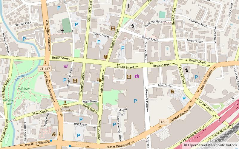
Downtown StamfordStamford
ContactAdd
Social media
Add
Getting there by public transportation
Public transportation stops near this location
- Train
 Train
Train
- Calculate routeStamford 15 min walk
Day trips
Parc Stamford – popular in the area (distance from the attraction)
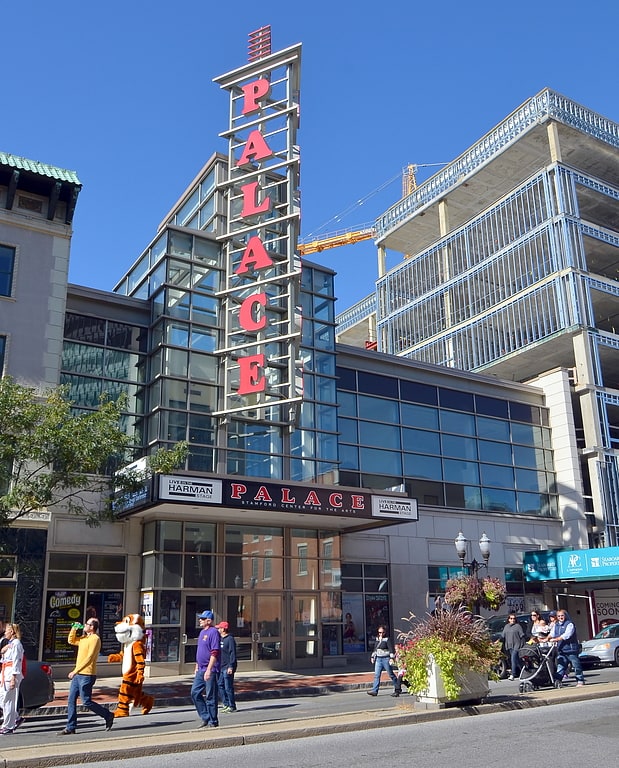
Nearby attractions include: Stamford Town Center, Stamford Center for the Arts, Old Town Hall, One Landmark Square.


Frequently Asked Questions (FAQ)
Which popular attractions are close to Parc Stamford?
Nearby attractions include St. Andrew's Episcopal Church, Stamford (4 min walk), Franklin Street Works, Stamford (4 min walk), Main Street Bridge, Stamford (5 min walk), Mill River Park, Stamford (5 min walk).
How to get to Parc Stamford by public transport?
The nearest stations to Parc Stamford:
Train
Train
- Stamford (15 min walk)