Utah and the Civil War Monument, Salt Lake City
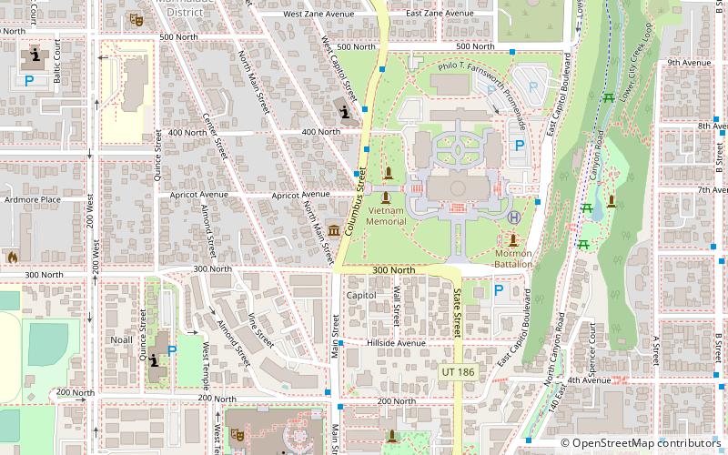
Map

Map

Facts and practical information
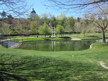
The Utah and the Civil War Monument is installed outside the Utah State Capitol in Salt Lake City, in the U.S. state of Utah. ()
Coordinates: 40°46'36"N, 111°53'26"W
Address
Capitol HillSalt Lake City
ContactAdd
Social media
Add
Day trips
Utah and the Civil War Monument – popular in the area (distance from the attraction)
Nearby attractions include: Salt Lake Temple, LDS Conference Center, City Creek Center, Salt Lake Tabernacle.
Frequently Asked Questions (FAQ)
Which popular attractions are close to Utah and the Civil War Monument?
Nearby attractions include Pioneer Memorial Museum, Salt Lake City (1 min walk), Utah Law Enforcement Memorial, Salt Lake City (2 min walk), Capitol Hill Historic District, Salt Lake City (5 min walk), Salt Lake City Council Hall, Salt Lake City (5 min walk).
How to get to Utah and the Civil War Monument by public transport?
The nearest stations to Utah and the Civil War Monument:
Light rail
Bus
Train
Light rail
- Temple Square • Lines: 701, 704 (15 min walk)
- City Center • Lines: 701, 704 (16 min walk)
Bus
- North Temple Station (20 min walk)
- 400 S @ 198 W • Lines: 228, 460, 461, 462, 463 (30 min walk)
Train
- North Temple Bridge/Guadalupe (21 min walk)
- Salt Lake Central (37 min walk)


