Alphabet Historic District, Portland
Map

Map

Facts and practical information
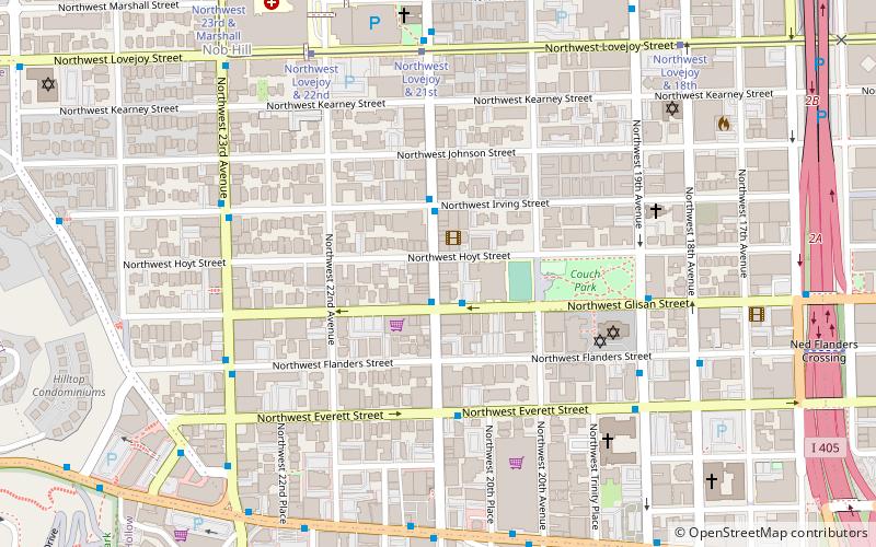
The Alphabet Historic District, is a historic district in the Northwest District of Portland, Oregon which was listed on the National Register of Historic Places in 2000. It is 156.9 acres in area and includes 478 contributing buildings. It is roughly bounded by NW Lovejoy St. NW Marshall St. NW 17th Ave. W. Burnside St. and NW 24th Ave. ()
Area: 156.93 acres (0.2452 mi²)Coordinates: 45°31'36"N, 122°41'40"W
Address
Northwest District (Nob Hill)Portland
ContactAdd
Social media
Add
Day trips
Alphabet Historic District – popular in the area (distance from the attraction)
Nearby attractions include: Crystal Ballroom, Teardrop Lounge, Cinema 21, Goose Hollow Inn.
Frequently Asked Questions (FAQ)
Which popular attractions are close to Alphabet Historic District?
Nearby attractions include Joseph Bergman House, Portland (2 min walk), MLC Pool, Portland (2 min walk), Buck Apartment Building, Portland (2 min walk), Day Building, Portland (3 min walk).
How to get to Alphabet Historic District by public transport?
The nearest stations to Alphabet Historic District:
Bus
Tram
Light rail
Train
Bus
- Northwest 21st & Glisan • Lines: 77 (1 min walk)
Tram
- Northwest Lovejoy & 21st • Lines: Ns (6 min walk)
Light rail
- Providence Park • Lines: Blue, Red (11 min walk)
- Goose Hollow/Southwest Jefferson Street • Lines: Blue, Red (16 min walk)
Train
- Portland Union Station (22 min walk)


