Airline, Dallas
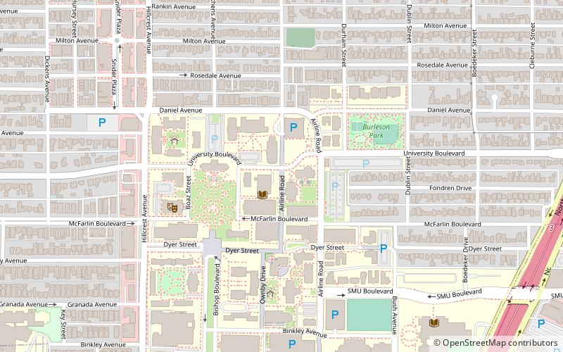
Map
Facts and practical information
The Airline Improvement District is a management district in unincorporated Harris County, Texas in Greater Houston and located entirely within the postal zip code of 77037. ()
Coordinates: 32°50'42"N, 96°46'58"W
Address
Park Cities (University Park)Dallas
ContactAdd
Social media
Add
Day trips
Airline – popular in the area (distance from the attraction)
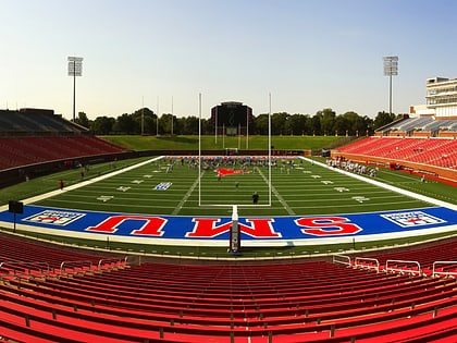
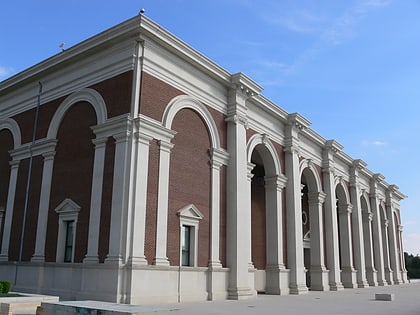
Nearby attractions include: Dallas Country Club, Gerald J. Ford Stadium, Meadows Museum, Granada Theater.
Frequently Asked Questions (FAQ)
Which popular attractions are close to Airline?
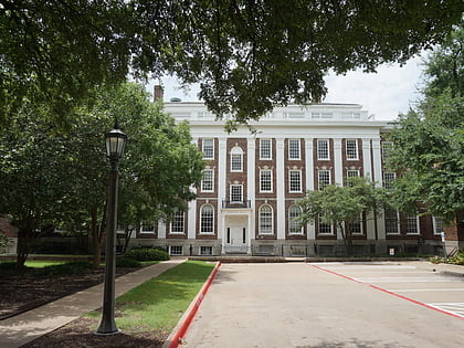
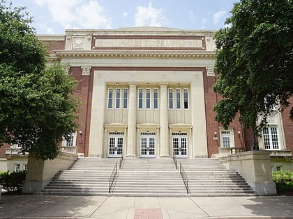
Nearby attractions include SMU Fondren Library, Dallas (2 min walk), Hyer Hall, Dallas (2 min walk), Dallas Hall, Dallas (3 min walk), Stanley Patterson Hall, Dallas (4 min walk).
How to get to Airline by public transport?
The nearest stations to Airline:
Light rail
Light rail
- Mockingbird • Lines: Blue, Orange, Red (18 min walk)
- Lovers Lane • Lines: Orange, Red (18 min walk)

