Mid-City West, Santa Monica
Map
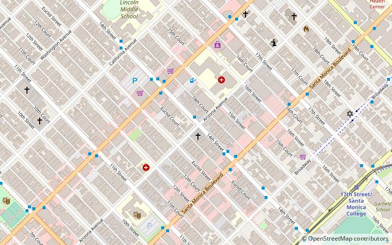
Map

Facts and practical information
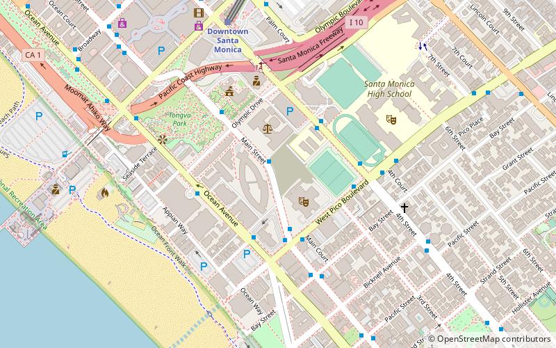
Mid-City West is a subregion in the western part of the Central Los Angeles region, served by the Mid City West Community Council. ()
Coordinates: 34°1'32"N, 118°29'15"W
Address
Silicon Beach (Mid - City)Santa Monica
ContactAdd
Social media
Add
Day trips
Mid-City West – popular in the area (distance from the attraction)
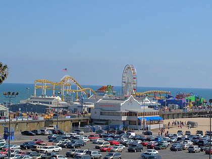
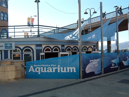
Nearby attractions include: Pacific Park, Santa Monica Pier Aquarium, Santa Monica Place, Third Street Promenade.
Frequently Asked Questions (FAQ)
Which popular attractions are close to Mid-City West?
Nearby attractions include St. Monica Catholic Church, Santa Monica (15 min walk), Santa Monica Public Library, Santa Monica (15 min walk), Angels Attic Museum, Santa Monica (20 min walk), Charmont Apartments, Santa Monica (21 min walk).
How to get to Mid-City West by public transport?
The nearest stations to Mid-City West:
Bus
Light rail
Bus
- 14th & Arizona • Lines: 41 (1 min walk)
- 14th & Santa Monica • Lines: 41, 42 (3 min walk)
Light rail
- 17th Street/Santa Monica College • Lines: E (12 min walk)
- Downtown Santa Monica • Lines: E (22 min walk)

