East Broad Street Historic District, Columbus
Map

Map

Facts and practical information
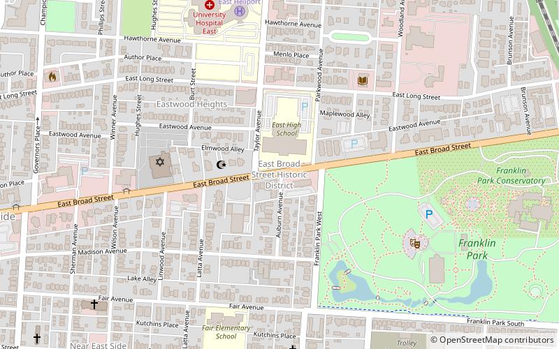
The East Broad Street Historic District in Columbus, Ohio is a historic district that was listed on the National Register of Historic Places in 1987. The district includes the section of East Broad Street from Ohio Avenue on the west to Monypenny Street on the east. It includes lavish residences, some converted to offices. ()
Coordinates: 39°58'0"N, 82°57'40"W
Address
Near East Columbus (Franklin Park)Columbus
ContactAdd
Social media
Add
Day trips
East Broad Street Historic District – popular in the area (distance from the attraction)
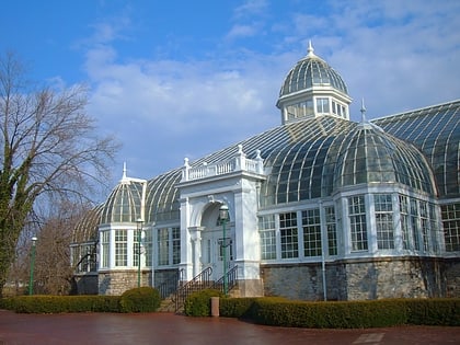
Nearby attractions include: Franklin Park Conservatory, Lincoln Theatre, William H. Thomas Gallery, Broad Street Christian Church.
Frequently Asked Questions (FAQ)
Which popular attractions are close to East Broad Street Historic District?
Nearby attractions include Near East Side, Columbus (8 min walk), Columbus Near East Side District, Columbus (11 min walk), Franklin Park Conservatory, Columbus (11 min walk), Franklin Park Medical Center, Columbus (13 min walk).
How to get to East Broad Street Historic District by public transport?
The nearest stations to East Broad Street Historic District:
Bus
Bus
- E Main St & Miller Ave • Lines: 2 (16 min walk)


