Teller Brothers–Reed Tobacco Historic District, Lancaster

Gallery (1)
Map
Map
Facts and practical information
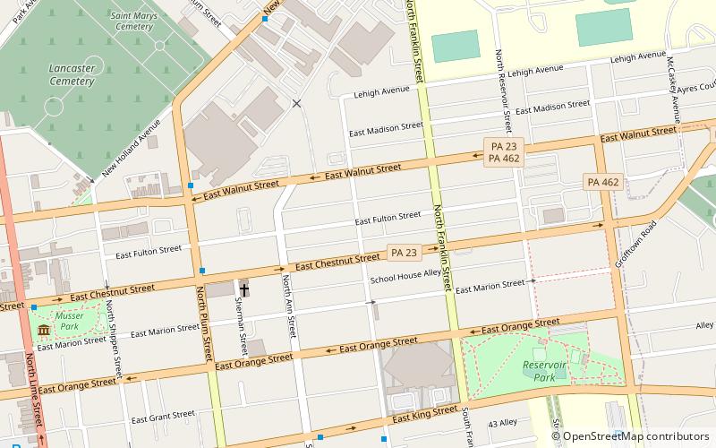
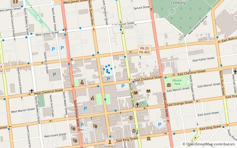
Teller Brothers–Reed Tobacco Historic District is a historic cigar factory and tobacco warehouse complex and national historic district located at Lancaster, Lancaster County, Pennsylvania. It includes five contributing buildings, built between about 1865 and 1900. They are the John F. Reed & Co. Cigar Factory, J.R. Bitner Tobacco Warehouse, Lancaster Paint Works, and two warehouses associated with the Teller Brothers, built about 1877 and 1885. All five buildings are brick buildings over stone foundations, 2 1/2- to 4 stories tall, and used for the processing and storage of cigar leaf tobacco. ()
Coordinates: 40°2'35"N, 76°17'38"W
Address
East SideLancaster
ContactAdd
Social media
Add
Getting there by public transportation
Public transportation stops near this location
- Bus
- Train
 Bus
Bus
- Calculate routeNorth Plum and East Chestnut Street 6 min walk
- Calculate routeSouth Marshall and King 7 min walk
- Calculate routeEast King and Ann 7 min walk
- Calculate routeLancaster 28 min walk
Day trips


Frequently Asked Questions (FAQ)
Which popular attractions are close to Teller Brothers–Reed Tobacco Historic District?
Nearby attractions include North Shippen–Tobacco Avenue Historic District, Lancaster (1 min walk), Lancaster County House of Employment, Lancaster (15 min walk), Demuth Museum, Lancaster (15 min walk), Lancaster County Courthouse, Lancaster (16 min walk).
How to get to Teller Brothers–Reed Tobacco Historic District by public transport?
The nearest stations to Teller Brothers–Reed Tobacco Historic District:
Bus
Train
Bus
- North Plum and East Chestnut Street • Lines: 2 (6 min walk)
- South Marshall and King • Lines: 1 (7 min walk)
Train
- Lancaster (28 min walk)