Razorback Regional Greenway, Bentonville
Map

Map

Facts and practical information
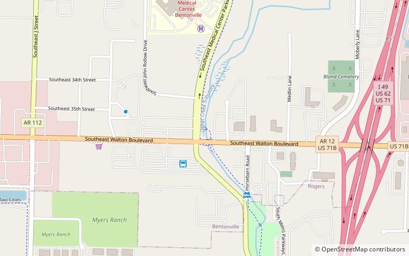
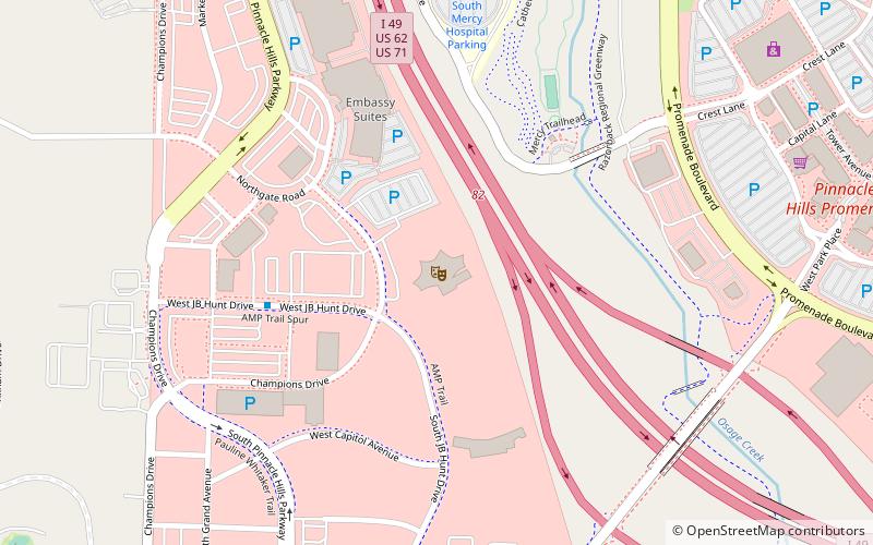
The Northwest Arkansas Razorback Regional Greenway is a 37.6 miles primarily off-road shared-use trail in Northwest Arkansas. Dedicated on May 2, 2015, the Greenway connects Walker Park in Fayetteville, Arkansas to north of Lake Bella Vista in Bella Vista, Arkansas, while also serving schools, businesses and other cultural amenities along the route. ()
Coordinates: 36°20'8"N, 94°11'25"W
Address
Bentonville
ContactAdd
Social media
Add
Day trips
Razorback Regional Greenway – popular in the area (distance from the attraction)
Nearby attractions include: Pinnacle Hills Promenade, Museum of Native American History, Jackson House, Downtown Bentonville.
Frequently Asked Questions (FAQ)
How to get to Razorback Regional Greenway by public transport?
The nearest stations to Razorback Regional Greenway:
Bus
Bus
- ORT Senior Center • Lines: 11 (5 min walk)
- ORT Bradford • Lines: 11 (10 min walk)


