Cheswolde, Baltimore

Map
Facts and practical information
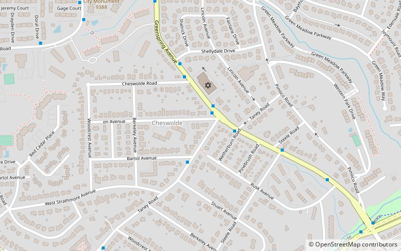
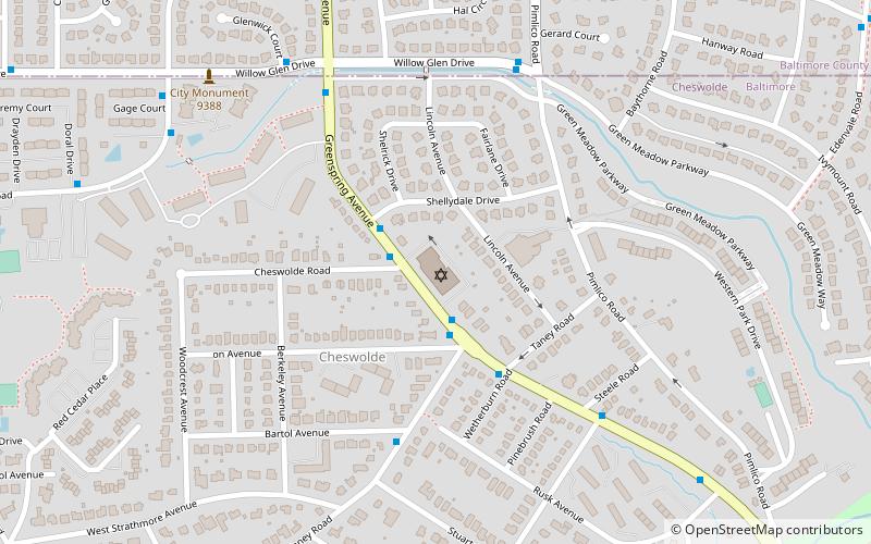
Cheswolde is residential community in northwest Baltimore, Maryland. It is located along the Western Run. The main roads running through the area are Greenspring Avenue, Cross Country Boulevard, and Taney Road. ()
Coordinates: 39°22'3"N, 76°40'49"W
Address
Northwestern Baltimore (Cheswolde)Baltimore
ContactAdd
Social media
Add
Day trips
Cheswolde – popular in the area (distance from the attraction)
Nearby attractions include: Pimlico Race Course, Congregation Tiferes Yisroel, Congregation Shomrei Emunah, Ruscombe.
Frequently Asked Questions (FAQ)
Which popular attractions are close to Cheswolde?
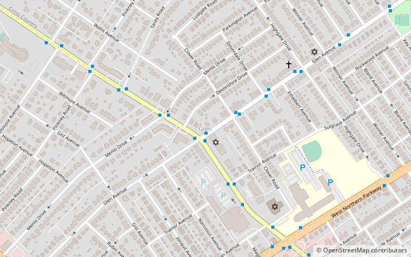
Nearby attractions include Congregation Shomrei Emunah, Baltimore (3 min walk), Forest Park, Baltimore (14 min walk), Glen, Baltimore (23 min walk), Congregation Tiferes Yisroel, Baltimore (24 min walk).
How to get to Cheswolde by public transport?
The nearest stations to Cheswolde:
Bus
Bus
- Glen Ave & Key Ave EB • Lines: 34, 92 (14 min walk)
- Glen Avenue & Clover Road Far-side Eastbound • Lines: 34 (22 min walk)


