St. Louis Hills, St. Louis
Map
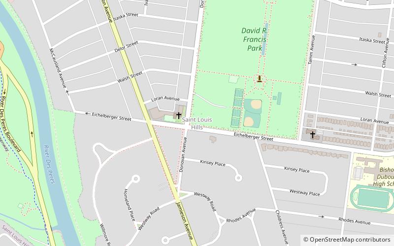
Map

Facts and practical information
St. Louis Hills is a neighborhood in St. Louis, Missouri. The neighborhood, which is home to the Chippewa location of Ted Drewes Frozen Custard, is situated in the southwest part of St. Louis. It is bounded by Chippewa Street to the northwest and north, Hampton Avenue to the east, Gravois Avenue to the southeast, and the St. Louis county border to the southwest. ()
Coordinates: 38°34'58"N, 90°18'15"W
Day trips
St. Louis Hills – popular in the area (distance from the attraction)
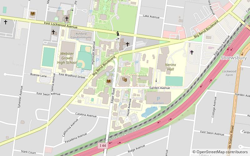
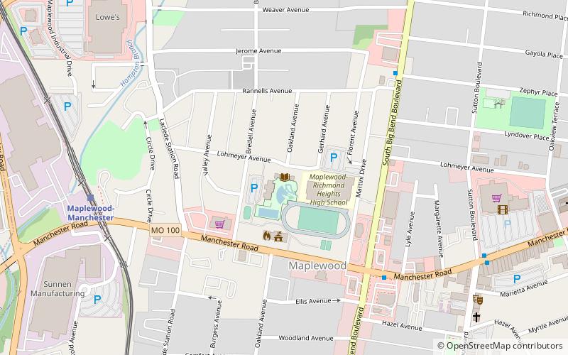
Nearby attractions include: The Repertory Theatre, New Mount Sinai Cemetery, Carondelet Park, Maplewood.
Frequently Asked Questions (FAQ)
How to get to St. Louis Hills by public transport?
The nearest stations to St. Louis Hills:
Light rail
Light rail
- Shrewsbury-Lansdowne I-44 • Lines: Blue (29 min walk)

