York Street Historic District, Newport
Map

Map

Facts and practical information
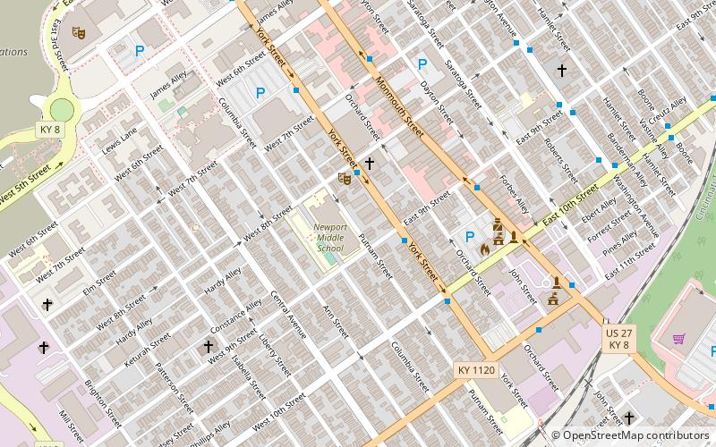
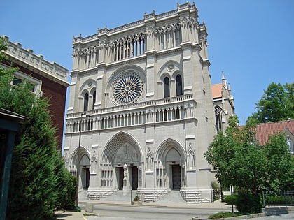
The York Street Historic District in Newport, Kentucky was listed on the National Register of Historic Places on May 26, 1995. Most of the buildings were built in the mid and late Victorian era. The district is bounded by Seventh Street on the north and Tenth Street on the south. ()
Coordinates: 39°5'15"N, 84°29'34"W
Address
Newport (Two Rivers)Newport
ContactAdd
Social media
Add
Day trips
York Street Historic District – popular in the area (distance from the attraction)
Nearby attractions include: Newport Aquarium, Great American Ball Park, Heritage Bank Center, John A. Roebling Suspension Bridge.
Frequently Asked Questions (FAQ)
Which popular attractions are close to York Street Historic District?
Nearby attractions include Salem Methodist Episcopal Church and Parsonage, Newport (2 min walk), Monmouth Street Historic District, Newport (4 min walk), Grace Methodist Episcopal Church, Newport (8 min walk), World Peace Bell, Newport (10 min walk).
How to get to York Street Historic District by public transport?
The nearest stations to York Street Historic District:
Bus
Tram
Bus
- York St & E 9th St • Lines: 25 (2 min walk)
- Monmouth St & E 9th St • Lines: 16, 25 (5 min walk)
Tram
- Cincinnati Cyclones • Lines: 100 (30 min walk)
- 247 Telemarketing • Lines: 100 (33 min walk)


