Centre Avenue, Philadelphia
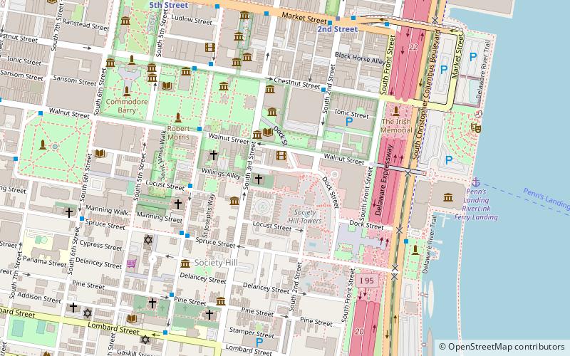
Map
Facts and practical information
Centre Avenue is a main thoroughfare in Pittsburgh, Pennsylvania. It stretches from Sixth Avenue near the Allegheny County Courthouse to East Liberty. ()
Coordinates: 39°56'47"N, 75°8'43"W
Address
Center City (Society Hill)Philadelphia
ContactAdd
Social media
Add
Day trips
Centre Avenue – popular in the area (distance from the attraction)
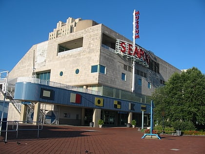
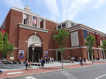
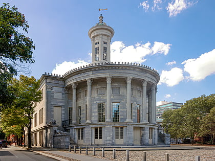
Nearby attractions include: Independence Seaport Museum, Museum of the American Revolution, Carpenters' Hall, Merchants' Exchange Building.
Frequently Asked Questions (FAQ)
Which popular attractions are close to Centre Avenue?
Nearby attractions include Society Hill Towers, Philadelphia (2 min walk), Merchants' Exchange Building, Philadelphia (3 min walk), Powel House, Philadelphia (3 min walk), Davis-Lenox House, Philadelphia (3 min walk).
How to get to Centre Avenue by public transport?
The nearest stations to Centre Avenue:
Metro
Bus
Train
Light rail
Tram
Metro
- 2nd Street • Lines: Mfl (7 min walk)
- 5th Street • Lines: Mfl (9 min walk)
Bus
- Spruce St & 6th St • Lines: 12 (9 min walk)
- Washington Sq & Locust St • Lines: 12, 47 (11 min walk)
Train
- Jefferson Station (21 min walk)
- Suburban Station (33 min walk)
Light rail
- Adventure Aquarium • Lines: River Line (23 min walk)
- Entertainment Center • Lines: River Line (25 min walk)
Tram
- 13th Street • Lines: 10, 11, 13, 34, 36 (25 min walk)
- 15th Street • Lines: 10, 11, 13, 34, 36 (30 min walk)
 SEPTA Regional Rail